UN/LOCODE hub · United States
USMV6
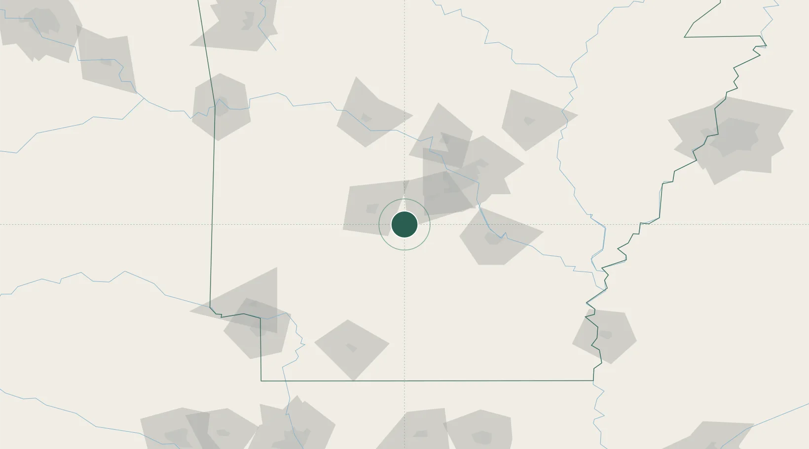
Malvern
34.3667°, -92.8000°
10,928
Population
2
Transport functions
Transport Functions
Rail
Road
Hub Profile
Place type
Provincial seat
Region
Arkansas
Population
10,928
Time zone
America/Chicago
Elevation
96 m
Location
Nearby Logistics Neighbours
Cities
- 1Jones Mill11 km
- 2Haskell21 km
- 3Hot Springs National Park27 km
- 4Bismarck35 km
- 5Byant38 km
Ports
- 1Port Of Memphis253 km
- 2Baton Rouge461 km
- 3Lake Charles463 km
- 4Orange484 km
- 5Beaumont491 km
Airports
Trade Zones
- 1FTZ No. 014 Little Rock68 km
- 2FTZ No. 287 Tunica County198 km
- 3FTZ No. 258 Bowie County199 km
- 4FTZ No. 145 Shreveport237 km
- 5FTZ No. 146 Lawrence County237 km
DatabookThe Record of Consolidated Knowledge
United States beyond logistics?