Transport Functions
Multimodal
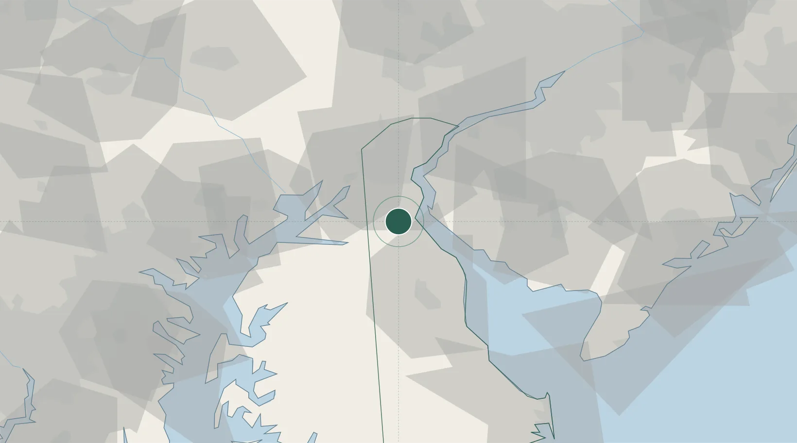
Hub Profile
Place type
Populated place
Region
Delaware
Population
374
Time zone
America/New_York
Elevation
18 m
Location
Nearby Logistics Neighbours
Cities
- 1Delaware City14 km
- 2Chesapeake City15 km
- 3Hancocks Bridge18 km
- 4Bear20 km
- 5Mannington22 km
Ports
- 1New Castle23 km
- 2Salem Nj28 km
- 3Deepwater Point30 km
- 4Wilmington33 km
- 5Havre De Grace38 km
Airports
Trade Zones
- 1FTZ No. 099 Wilmington34 km
- 2FTZ No. 142 Salem Millville46 km
- 3FTZ No. 035 Philadelphia70 km
- 4FTZ No. 074 Baltimore84 km
- 5FTZ No. 073 BWI Airport93 km
DatabookThe Record of Consolidated Knowledge
United States beyond logistics?