Transport Functions
Port
Rail
Road
Multimodal
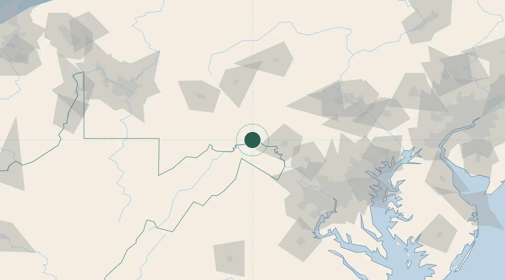
Hub Profile
Place type
Populated place
Region
Maryland
Population
1,550
Time zone
America/New_York
Elevation
134 m
Location
Nearby Logistics Neighbours
Cities
- 1Needmore15 km
- 2Clearville30 km
- 3Lemasters33 km
- 4Levels40 km
- 5Saint Thomas42 km
Ports
- 1Washington D.C.136 km
- 2Alexandria141 km
- 3Baltimore146 km
- 4Annapolis167 km
- 5Fredericksburg168 km
Airports
Trade Zones
DatabookThe Record of Consolidated Knowledge
United States beyond logistics?