Transport Functions
Port
Rail
Road
Hub Profile
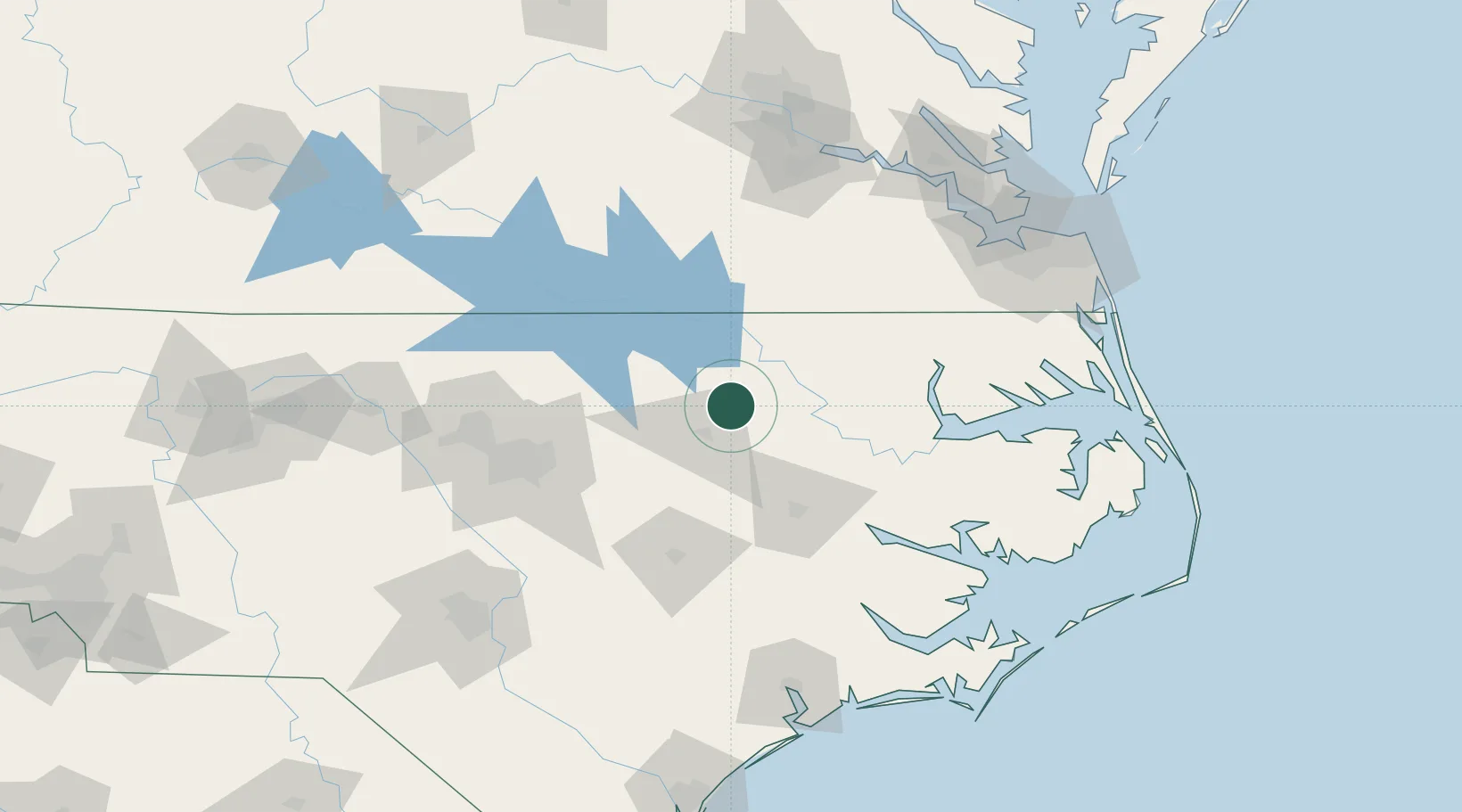
Place type
Populated place
Region
North Carolina
Population
725
Time zone
America/New_York
Elevation
39 m
Location
Nearby Logistics Neighbours
Cities
- 1Sharpsburg28 km
- 2Nashville28 km
- 3Pinetops36 km
- 4Elm City37 km
- 5Garysburg41 km
Ports
- 1Washington85 km
- 2Plymouth89 km
- 3Edenton98 km
- 4Hertford111 km
- 5Belhaven111 km
Airports
Trade Zones
- 1FTZ No. 214 Lenoir County100 km
- 2FTZ No. 093 Raleigh Durham111 km
- 3FTZ No. 020 Suffolk135 km
- 4FTZ No. 207 Richmond159 km
- 5FTZ No. 230 Piedmont Triad Area220 km
DatabookThe Record of Consolidated Knowledge
United States beyond logistics?