Transport Functions
Rail
Road
Multimodal
Hub Profile
Place type
Populated place
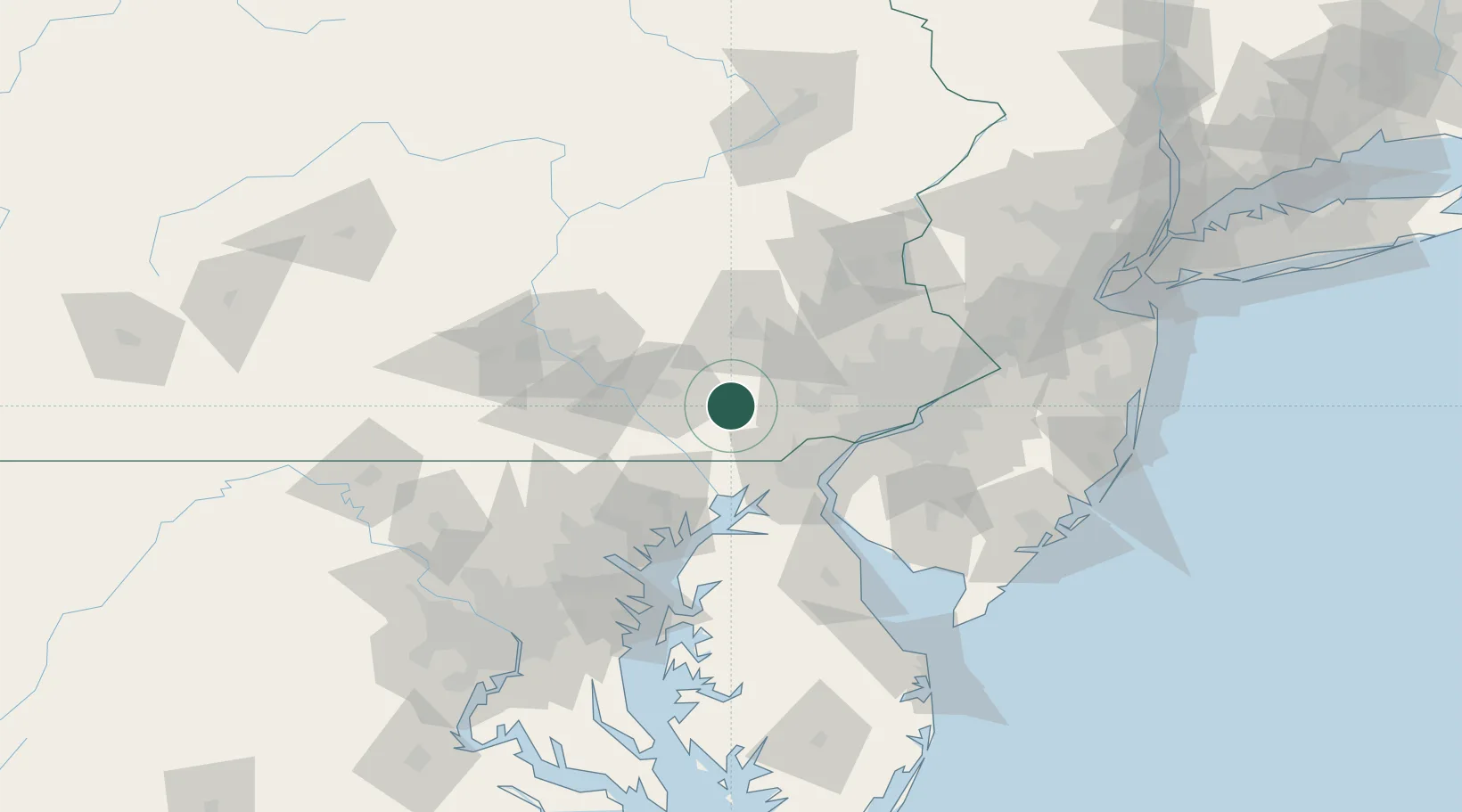
Region
Pennsylvania
Population
1,931
Time zone
America/New_York
Elevation
166 m
Location
Nearby Logistics Neighbours
Cities
- 1Christiana4 km
- 2Gordonville11 km
- 3Pomeroy12 km
- 4Narvon13 km
- 5Ronks13 km
Ports
- 1Wilmington49 km
- 2Havre De Grace50 km
- 3Deepwater Point53 km
- 4New Castle53 km
- 5Marcus Hook54 km
Airports
Trade Zones
DatabookThe Record of Consolidated Knowledge
United States beyond logistics?