UN/LOCODE hub · United States
USWOF

Wolfforth

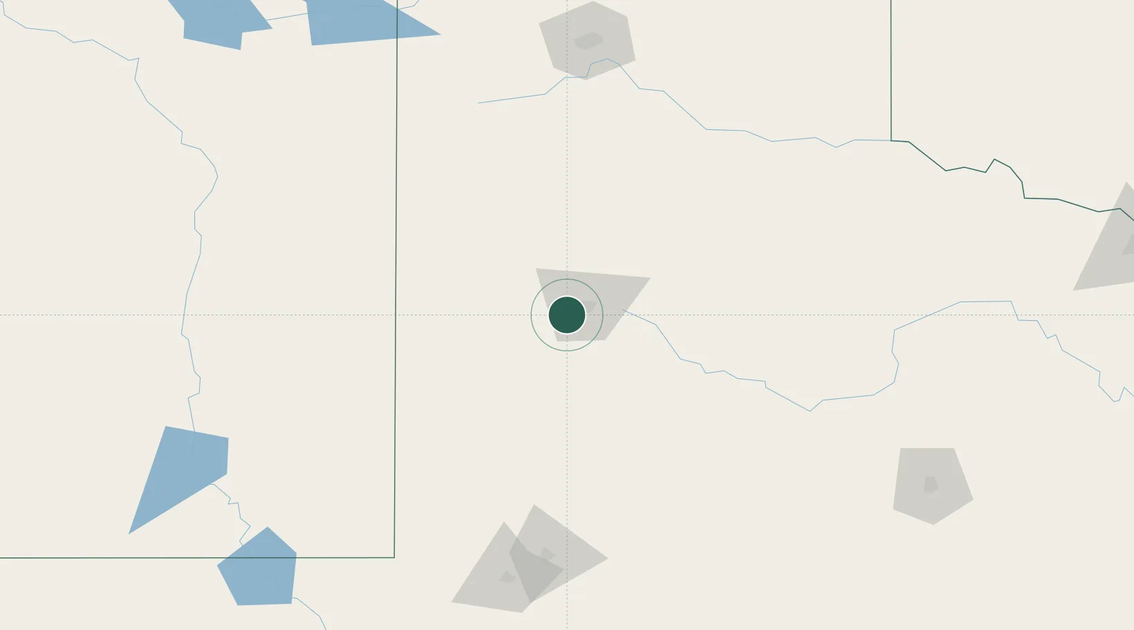
33.5000°, -102.0000°
4,249
Population
3
Transport functions

Transport Functions

Rail
Road
Multimodal
UN/LOCODE

Hub Profile

Place type
Populated place
GeoNames
Region
Texas
GeoNames
Population
4,249
GeoNames
Time zone
America/Chicago
GeoNames
Elevation
1,011 m
GeoNames

Location

Location of USWOF
Natural Earth 10m (public domain) · Texas · USWOF · 33.50, -102.00GoogleOSMYandex

Nearby Logistics Neighbours

Cities
  1. 1Wilson33 km
  2. 2Petersburg55 km
  3. 3Morton75 km
  4. 4Olton77 km
  5. 5Springlake84 km
Nearest neighbours — logibook spatial index (haversine) over the source coordinates
Ports
  1. 1Port Lavaca747 km
  2. 2Deer Park756 km
  3. 3Houston760 km
  4. 4Pasadena768 km
  5. 5Palacios768 km
Nearest neighbours — logibook spatial index (haversine) over the source coordinates
Airports
  1. 1Lubbock Preston Smith International Airport25 km
  2. 2Clovis Municipal Airport143 km
  3. 3Lea County Regional Airport145 km
  4. 4Cannon Air Force Base157 km
  5. 5Midland International Air and Space Port174 km
Nearest neighbours — logibook spatial index (haversine) over the source coordinates
Trade Zones
  1. 1FTZ No. 260 Lubbock11 km
  2. 2FTZ No. 261 Alexandria11 km
  3. 3FTZ No. 165 Midland165 km
  4. 4FTZ No. 166 Homestead165 km
  5. 5FTZ No. 252 Amarillo190 km
Nearest neighbours — logibook spatial index (haversine) over the source coordinates
DatabookThe Record of Consolidated Knowledge
United States beyond logistics?
Browse databook

All Sources

LocationsUN/LOCODE
UN/LOCODE — free
LocationsGeoNames
CC BY 4.0
Portsthe NGA World Port Index
Public domain (US gov)
AirportsOurAirports
Public domain
Trade Zonesthe World Bank SEZ database
CC BY 4.0
Trade ZonesOpen Zone Map
CC BY
← United States locations