UN/LOCODE hub · United States
USFED
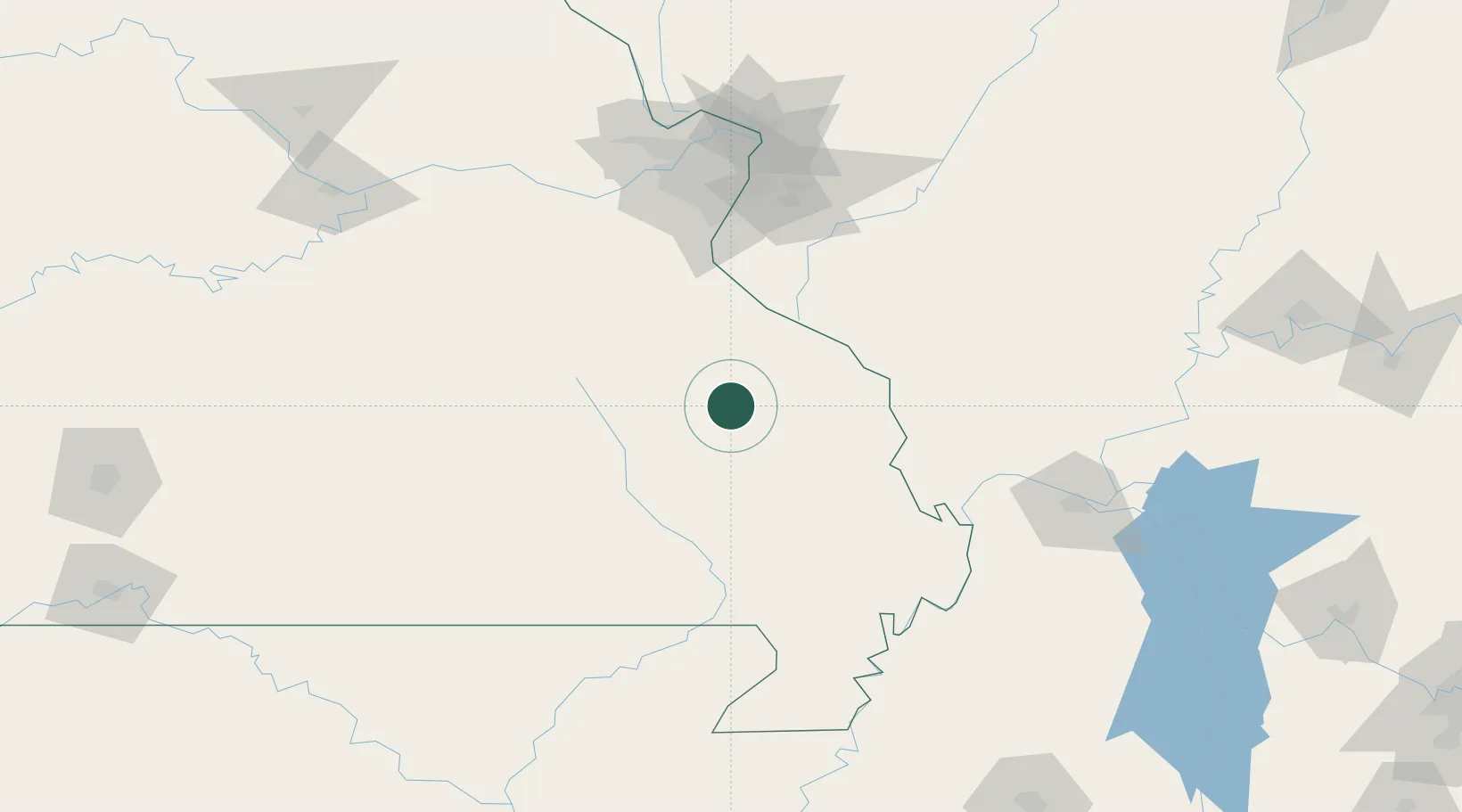
Fredericktown
37.5500°, -90.2833°
4,076
Population
2
Transport functions
Transport Functions
Road
Multimodal
Hub Profile
Place type
Provincial seat
Region
Missouri
Population
4,076
Time zone
America/Chicago
Elevation
226 m
Location
Nearby Logistics Neighbours
Cities
- 1Ironton30 km
- 2Glen Allen38 km
- 3Park Hills39 km
- 4Silva46 km
- 5Sainte Genevieve51 km
Ports
- 1Port Of Memphis276 km
- 2Gary518 km
- 3Indiana Harbor519 km
- 4Calumet Harbor522 km
- 5Chicago534 km
Airports
Trade Zones
- 1FTZ No. 102 St. Louis County127 km
- 2FTZ No. 031 Granite City133 km
- 3FTZ No. 294 Western Kentucky160 km
- 4FTZ No. 283 West Tennessee208 km
- 5FTZ No. 177 Evansville240 km
DatabookThe Record of Consolidated Knowledge
United States beyond logistics?