Transport Functions
Multimodal
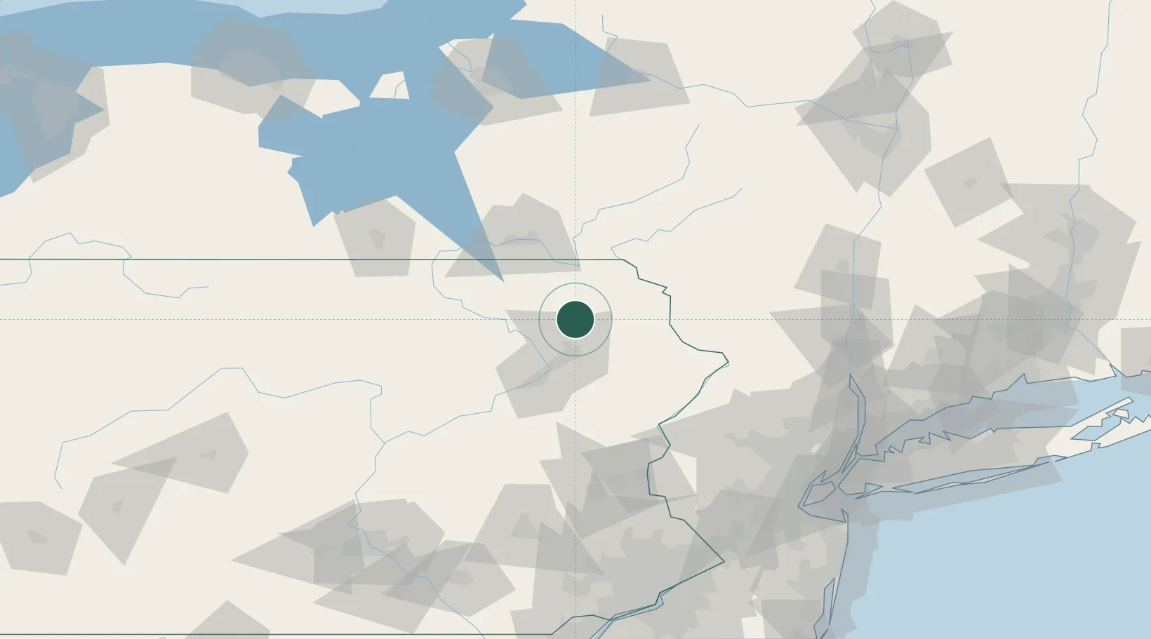
Hub Profile
Region
PA
Location
Nearby Logistics Neighbours
Cities
- 1Clifford Township8 km
- 2Forest City14 km
- 3Jermyn15 km
- 4Harford16 km
- 5Olyphant19 km
Ports
- 1Newburgh137 km
- 2Poughkeepsie140 km
- 3Kingston142 km
- 4Catskill161 km
- 5Newark162 km
Airports
Trade Zones
DatabookThe Record of Consolidated Knowledge
United States beyond logistics?