UN/LOCODE hub · United States
USJMY

Jermyn

41.5167°, -75.5333°
2,096
Population
1
Transport functions

Transport Functions

Multimodal
UN/LOCODE

Hub Profile

Place type
Populated place
GeoNames
Region
Pennsylvania
GeoNames
Population
2,096
GeoNames
Time zone
America/New_York
GeoNames
Elevation
294 m
GeoNames

Location

Location of USJMY
Natural Earth 10m (public domain) · Pennsylvania · USJMY · 41.52, -75.53GoogleOSMYandex

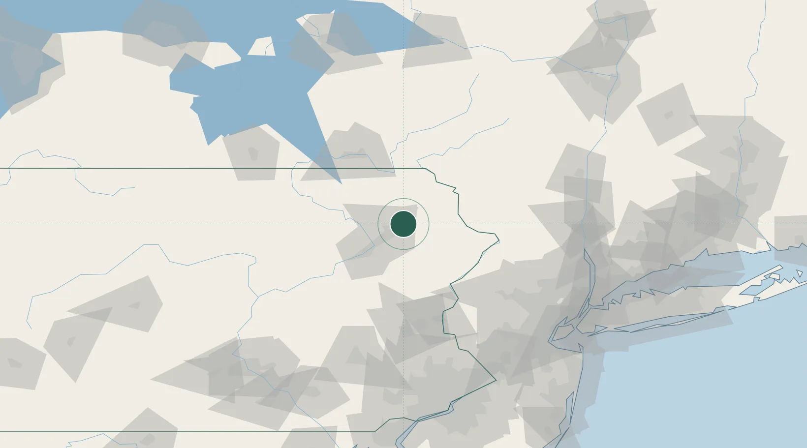
Nearby Logistics Neighbours

Cities
  1. 1Peckville6 km
  2. 2Olyphant8 km
  3. 3Throop9 km
  4. 4Greenfield Township15 km
  5. 5Forest City16 km
Nearest neighbours — logibook spatial index (haversine) over the source coordinates
Ports
  1. 1Newburgh128 km
  2. 2Poughkeepsie133 km
  3. 3Kingston138 km
  4. 4Newark147 km
  5. 5Elizabethport149 km
Nearest neighbours — logibook spatial index (haversine) over the source coordinates
Airports
  1. 1Wilkes-Barre/Scranton International Airport26 km
  2. 2Greater Binghamton/Edwin A Link field85 km
  3. 3Lehigh Valley International Airport97 km
  4. 4New York Stewart International Airport119 km
  5. 5Williamsport Regional Airport120 km
Nearest neighbours — logibook spatial index (haversine) over the source coordinates
Trade Zones
  1. 1FTZ No. 024 Pittston31 km
  2. 2FTZ No. 037 Orange County54 km
  3. 3FTZ No. 044 Morris County92 km
  4. 4FTZ No. 272 Counties of Lehigh and Northampton93 km
  5. 5FTZ No. 147 Berks County138 km
Nearest neighbours — logibook spatial index (haversine) over the source coordinates
DatabookThe Record of Consolidated Knowledge
United States beyond logistics?
Browse databook

All Sources

LocationsUN/LOCODE
UN/LOCODE — free
LocationsGeoNames
CC BY 4.0
Portsthe NGA World Port Index
Public domain (US gov)
AirportsOurAirports
Public domain
Trade Zonesthe World Bank SEZ database
CC BY 4.0
Trade ZonesOpen Zone Map
CC BY
← United States locations