UN/LOCODE hub · United States
USQOA
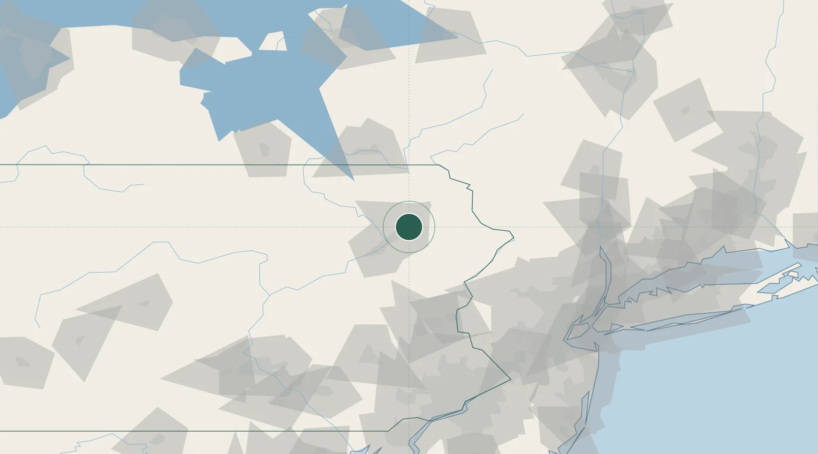
Olyphant
41.4667°, -75.6000°
5,111
Population
4
Transport functions
Transport Functions
Port
Rail
Road
Multimodal
Hub Profile
Place type
Populated place
Region
Pennsylvania
Population
5,111
Time zone
America/New_York
Elevation
239 m
Location
Nearby Logistics Neighbours
Cities
- 1Throop2 km
- 2Peckville3 km
- 3Jermyn8 km
- 4Moscow16 km
- 5Greenfield Township19 km
Ports
- 1Newburgh133 km
- 2Poughkeepsie140 km
- 3Kingston145 km
- 4Newark148 km
- 5Elizabethport150 km
Airports
Trade Zones
DatabookThe Record of Consolidated Knowledge
United States beyond logistics?