Transport Functions
Port
Road
Hub Profile
Region
PA
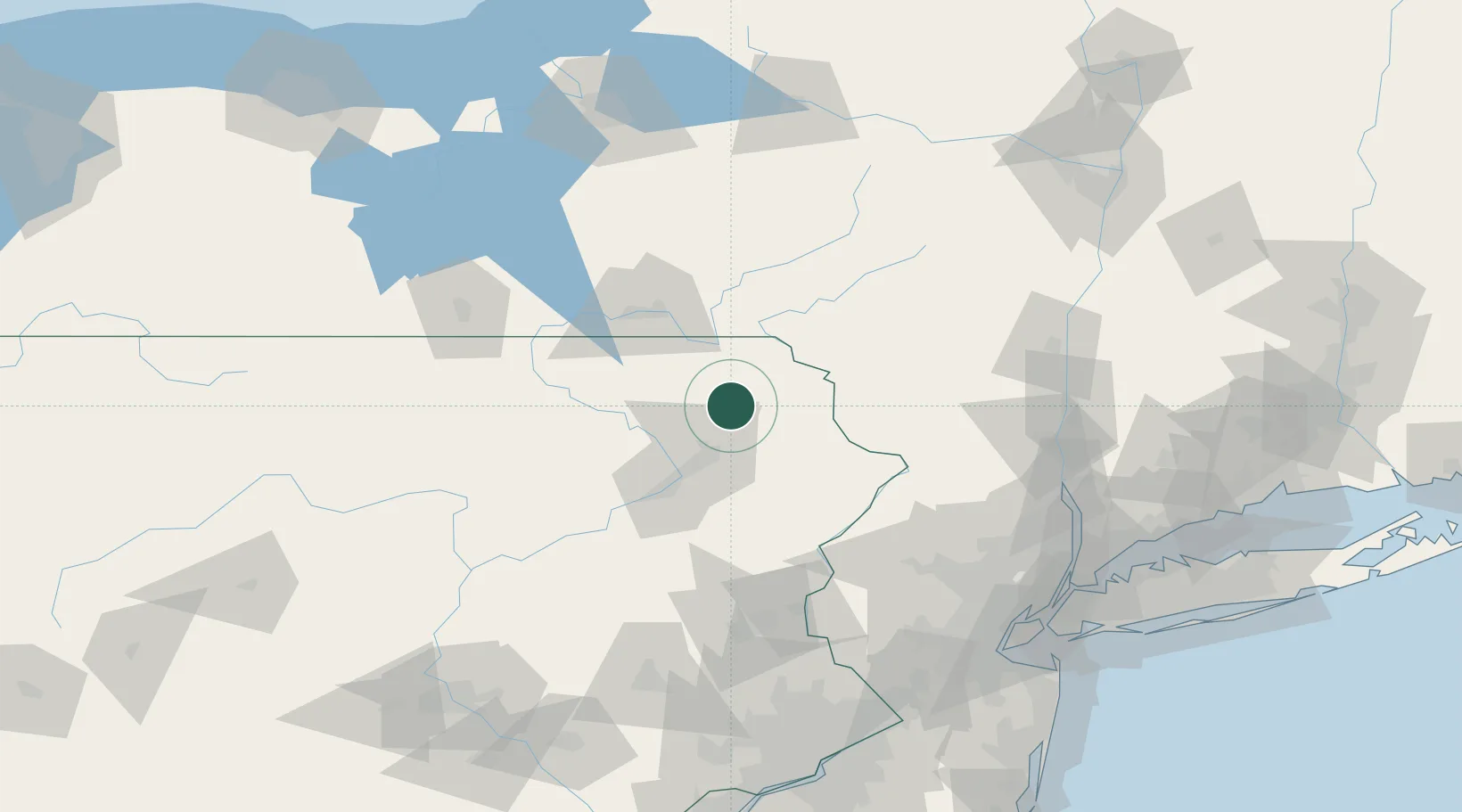
Location
Nearby Logistics Neighbours
Cities
- 1Forest City7 km
- 2Greenfield Township8 km
- 3Harford17 km
- 4Jermyn17 km
- 5Peckville22 km
Ports
- 1Newburgh130 km
- 2Poughkeepsie133 km
- 3Kingston135 km
- 4Catskill153 km
- 5Newark159 km
Airports
Trade Zones
DatabookThe Record of Consolidated Knowledge
United States beyond logistics?