UN/LOCODE hub · United States
USFZC
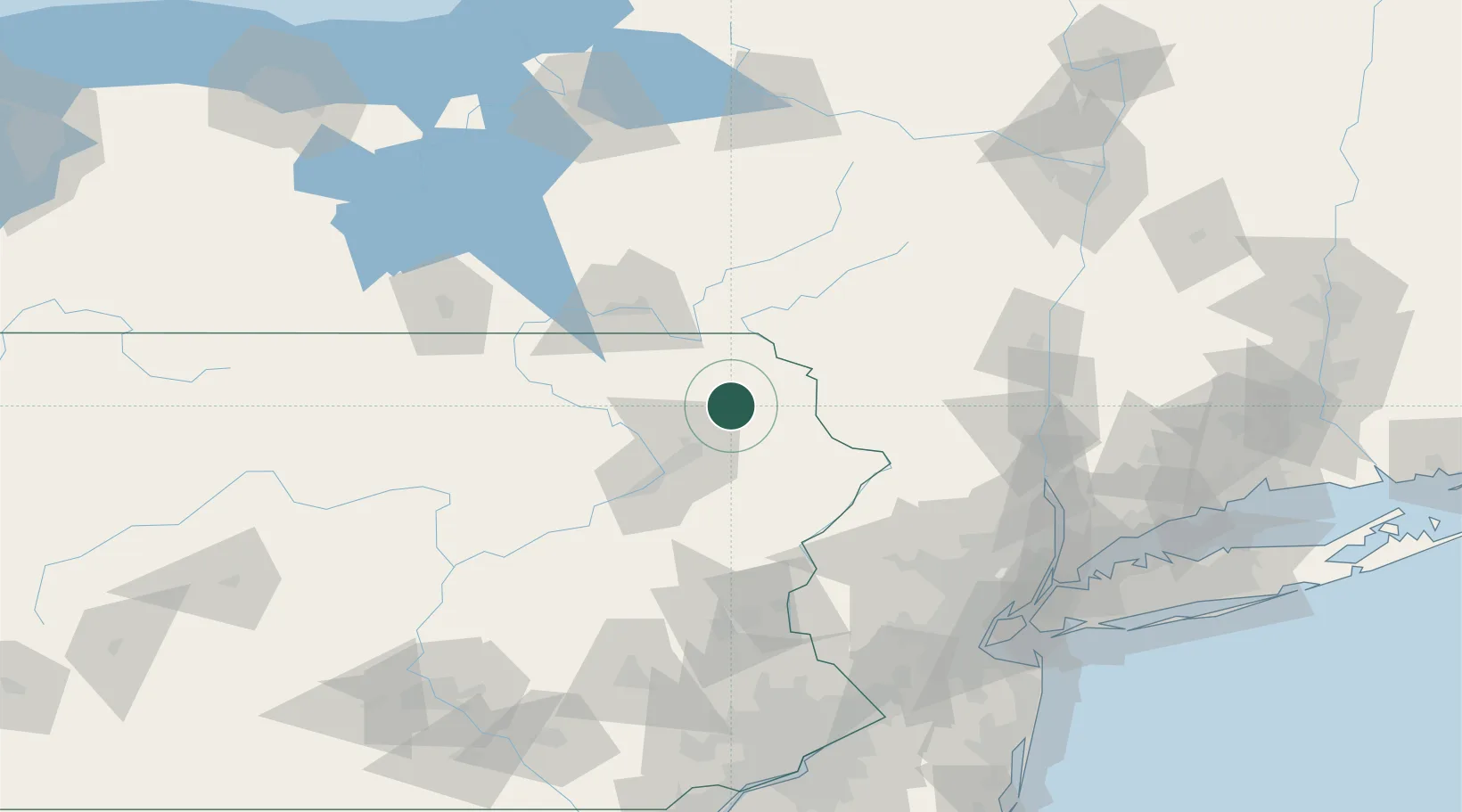
Forest City
41.6500°, -75.4667°
1,809
Population
3
Transport functions
Transport Functions
Rail
Road
Multimodal
Hub Profile
Place type
Populated place
Region
Pennsylvania
Population
1,809
Time zone
America/New_York
Elevation
480 m
Location
Nearby Logistics Neighbours
Cities
- 1Clifford Township7 km
- 2Greenfield Township14 km
- 3Jermyn16 km
- 4Peckville22 km
- 5Olyphant23 km
Ports
- 1Newburgh123 km
- 2Poughkeepsie126 km
- 3Kingston128 km
- 4Catskill148 km
- 5Newark153 km
Airports
Trade Zones
DatabookThe Record of Consolidated Knowledge
United States beyond logistics?