UN/LOCODE hub · United States
USCN4
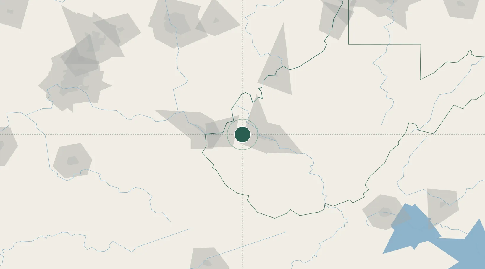
Culloden
38.4167°, -82.0500°
3,061
Population
2
Transport functions
Transport Functions
Rail
Road
Hub Profile
Place type
Populated place
Region
West Virginia
Population
3,061
Time zone
America/New_York
Elevation
215 m
Location
Nearby Logistics Neighbours
Cities
- 1Milton6 km
- 2Teays9 km
- 3Scott Depot12 km
- 4Eleanor17 km
- 5Fraziers Bottom18 km
Airports
Trade Zones
- 1FTZ No. 229 Charleston30 km
- 2FTZ No. 138 Franklin County174 km
- 3FTZ No. 054 Clinton County188 km
- 4FTZ No. 238 Dublin189 km
- 5FTZ No. 204 Tri-Cities218 km
DatabookThe Record of Consolidated Knowledge
United States beyond logistics?