UN/LOCODE hub · United States
USPB2

Petersburg, Menard

40.0000°, -89.8333°
2
Transport functions

Transport Functions

Rail
Road
UN/LOCODE

Hub Profile

Region
IL
GeoNames

Location

Location of USPB2
Natural Earth 10m (public domain) · IL · USPB2 · 40.00, -89.83GoogleOSMYandex

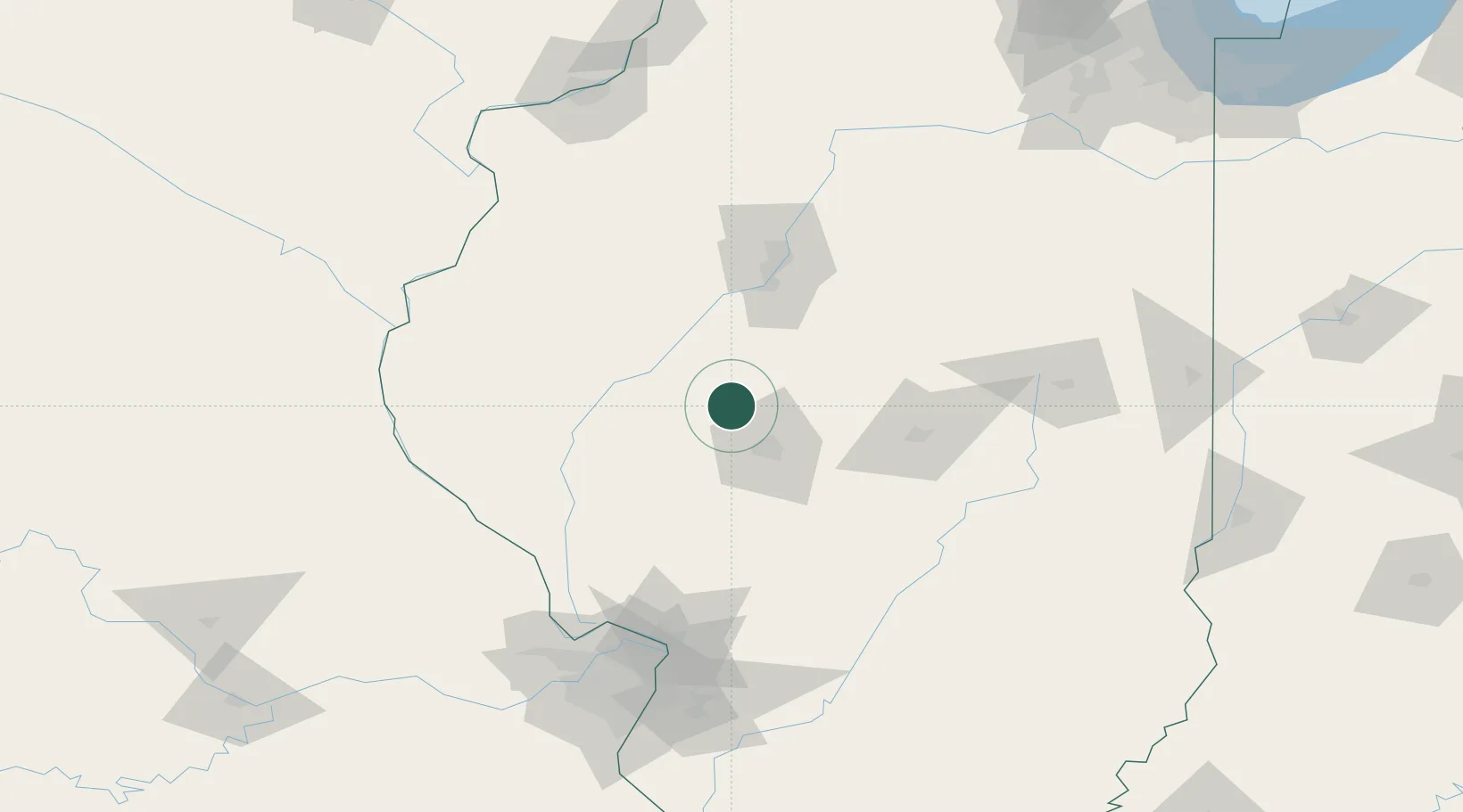
Nearby Logistics Neighbours

Cities
  1. 1Forest City41 km
  2. 2Mechanicsburg44 km
  3. 3Auburn45 km
  4. 4Monette46 km
  5. 5Manito47 km
Nearest neighbours — logibook spatial index (haversine) over the source coordinates
Ports
  1. 1Calumet Harbor274 km
  2. 2Indiana Harbor274 km
  3. 3Gary277 km
  4. 4Chicago281 km
  5. 5Wilmette294 km
Nearest neighbours — logibook spatial index (haversine) over the source coordinates
Trade Zones
  1. 1FTZ No. 245 Decatur68 km
  2. 2FTZ No. 114 Peoria80 km
  3. 3FTZ No. 055 Burlington140 km
  4. 4FTZ No. 031 Granite City144 km
  5. 5FTZ No. 102 St. Louis County169 km
Nearest neighbours — logibook spatial index (haversine) over the source coordinates
DatabookThe Record of Consolidated Knowledge
United States beyond logistics?
Browse databook

All Sources

LocationsUN/LOCODE
UN/LOCODE — free
Portsthe NGA World Port Index
Public domain (US gov)
AirportsOurAirports
Public domain
Trade Zonesthe World Bank SEZ database
CC BY 4.0
Trade ZonesOpen Zone Map
CC BY
← United States locations