UN/LOCODE hub · United States
USPHB
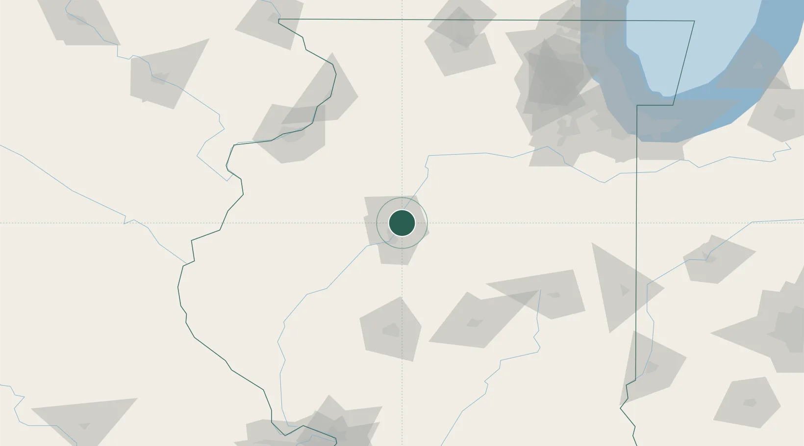
Peoria Heights
40.7333°, -89.5667°
5,979
Population
2
Transport functions
Transport Functions
Road
Multimodal
Hub Profile
Place type
Populated place
Region
Illinois
Population
5,979
Time zone
America/Chicago
Elevation
239 m
Location
Nearby Logistics Neighbours
Cities
- 1Washington15 km
- 2Edwards16 km
- 3Metamora19 km
- 4Chillicothe22 km
- 5Princeville27 km
Ports
- 1Calumet Harbor204 km
- 2Indiana Harbor207 km
- 3Chicago208 km
- 4Gary211 km
- 5Wilmette217 km
Airports
Trade Zones
- 1FTZ No. 114 Peoria5 km
- 2FTZ No. 245 Decatur107 km
- 3FTZ No. 055 Burlington130 km
- 4FTZ No. 176 Rockford172 km
- 5FTZ No. 271 Jo-Daviess and Carroll Counties185 km
DatabookThe Record of Consolidated Knowledge
United States beyond logistics?