UN/LOCODE hub · United States
USVYL
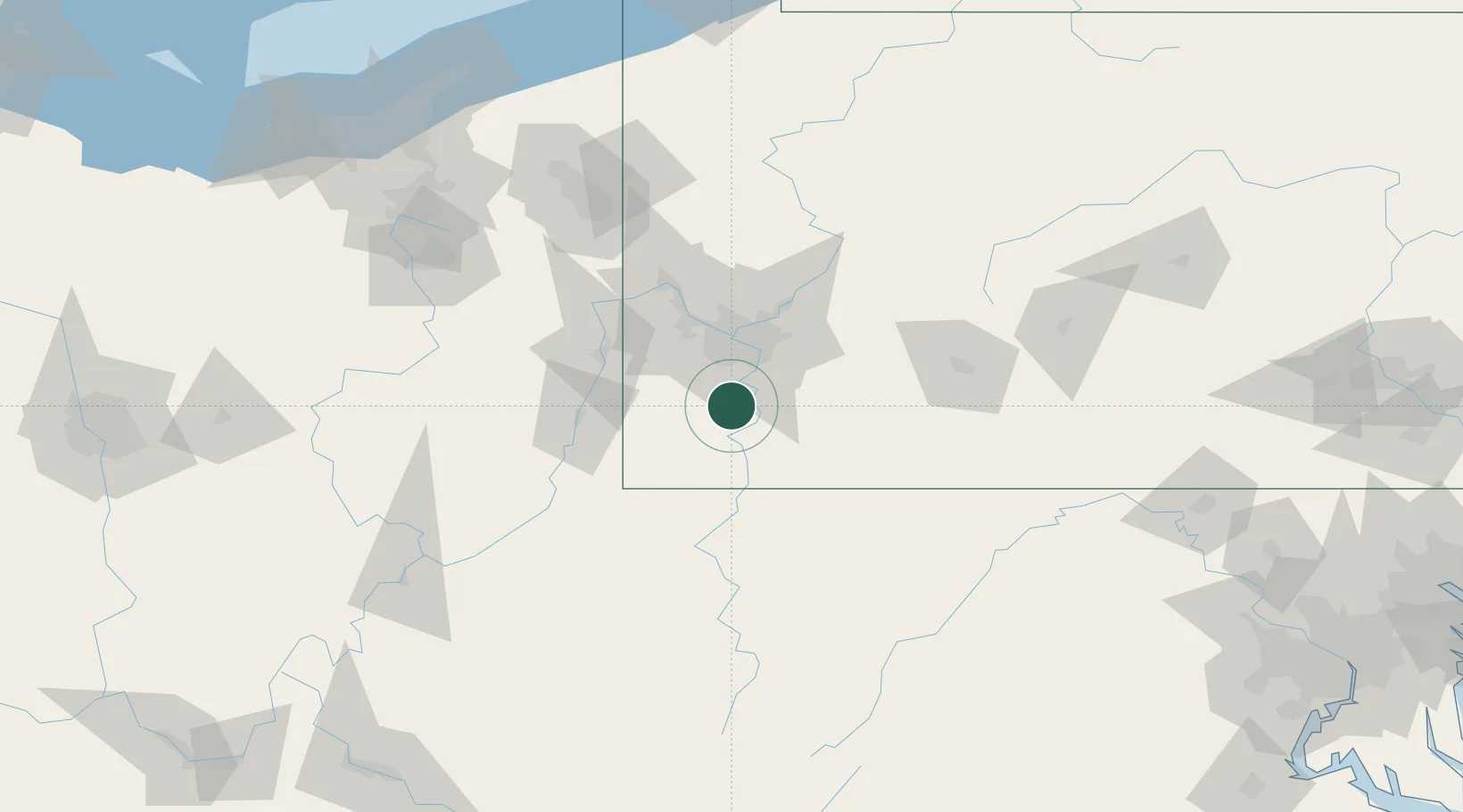
Bentleyville
40.1167°, -80.0000°
2,525
Population
2
Transport functions
Transport Functions
Road
Multimodal
Hub Profile
Place type
Populated place
Region
Pennsylvania
Population
2,525
Time zone
America/New_York
Elevation
291 m
Location
Nearby Logistics Neighbours
Cities
- 1Charleroi9 km
- 2Coal Center10 km
- 3Eighty Four13 km
- 4Bunola14 km
- 5Brownsville15 km
Airports
Trade Zones
- 1FTZ No. 033 Pittsburgh35 km
- 2FTZ No. 295 Central Pennsylvania154 km
- 3FTZ No. 181 Akron Canton174 km
- 4FTZ No. 254 Jefferson County181 km
- 5FTZ No. 240 Martinsburg186 km
DatabookThe Record of Consolidated Knowledge
United States beyond logistics?