Transport Functions
Port
Road
Multimodal
Hub Profile
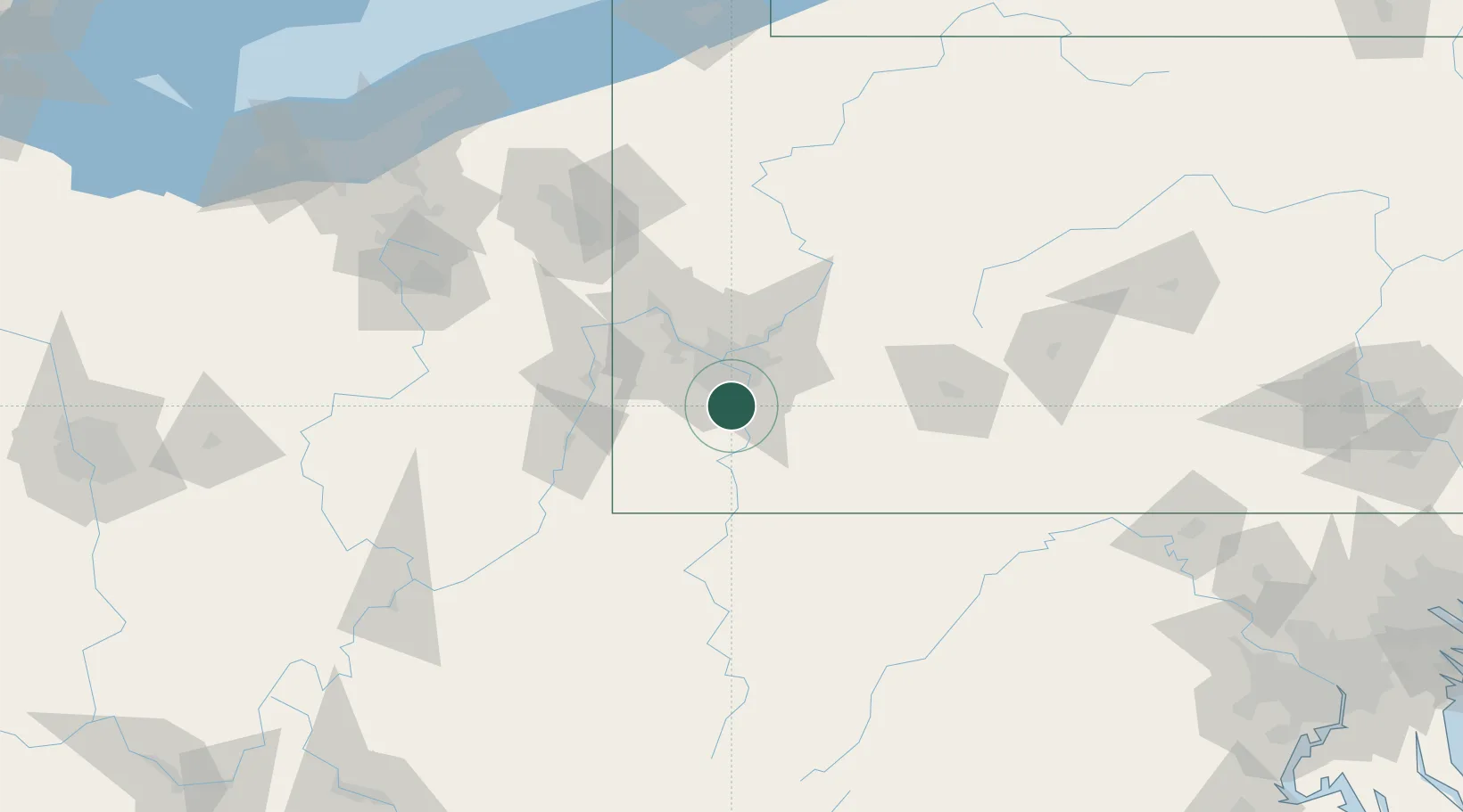
Place type
Populated place
Region
Pennsylvania
Time zone
America/New_York
Elevation
242 m
Location
Nearby Logistics Neighbours
Cities
- 1Floreffe3 km
- 2Jefferson Hills6 km
- 3Charleroi12 km
- 4Liberty13 km
- 5Sutersville13 km
Airports
Trade Zones
- 1FTZ No. 033 Pittsburgh24 km
- 2FTZ No. 295 Central Pennsylvania142 km
- 3FTZ No. 254 Jefferson County168 km
- 4FTZ No. 181 Akron Canton171 km
- 5FTZ No. 240 Martinsburg187 km
DatabookThe Record of Consolidated Knowledge
United States beyond logistics?