UN/LOCODE hub · United States
USFQK
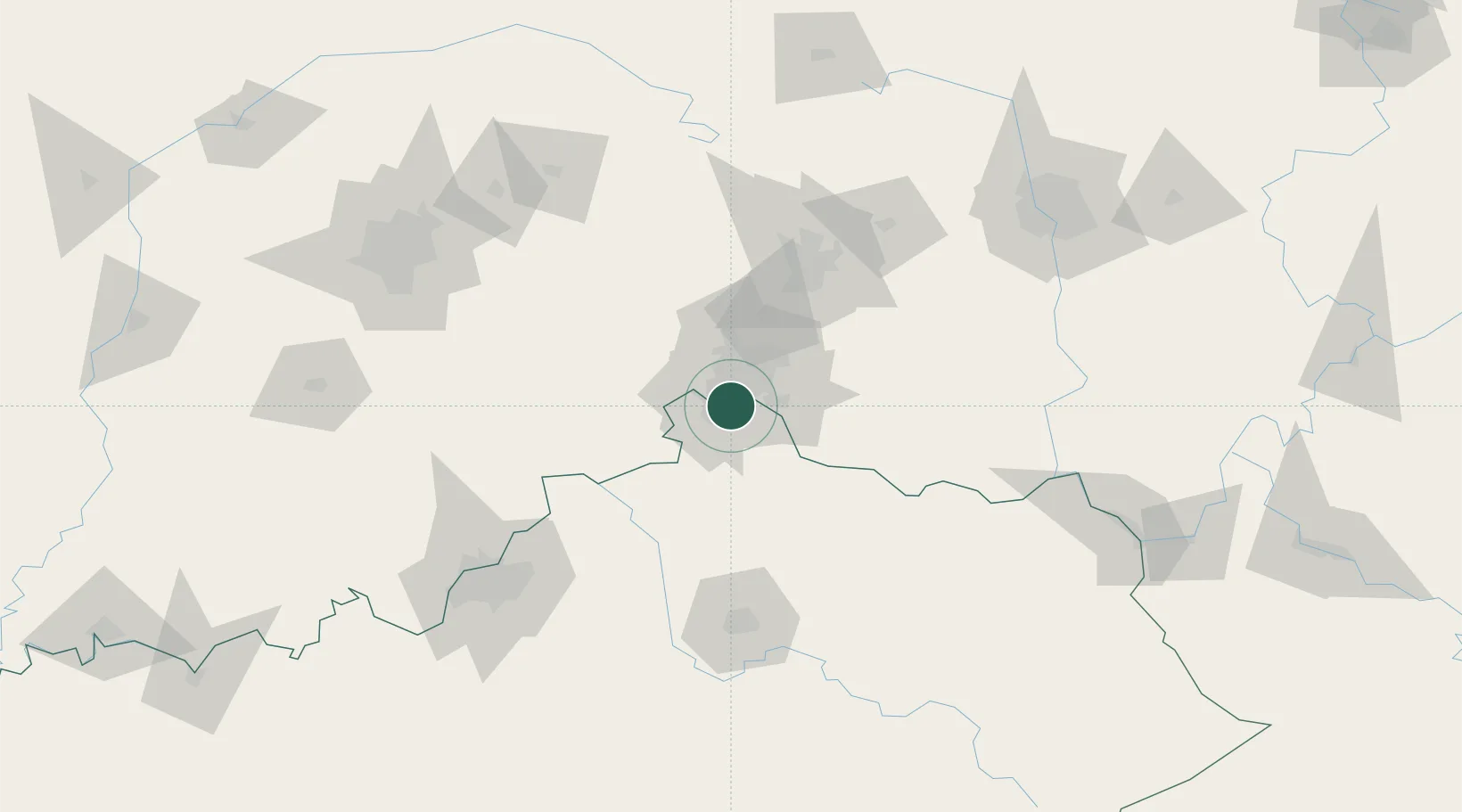
Fort Mitchell
39.0667°, -84.5500°
8,306
Population
2
Transport functions
Transport Functions
Road
Multimodal
Hub Profile
Place type
Populated place
Region
Kentucky
Population
8,306
Time zone
America/New_York
Elevation
260 m
Location
Nearby Logistics Neighbours
Cities
- 1Delhi6 km
- 2Crestview Hills6 km
- 3Southgate7 km
- 4Dayton9 km
- 5Burlington15 km
Ports
- 1Port Clinton305 km
- 2Toledo307 km
- 3Sandusky307 km
- 4Huron310 km
- 5Vermilion322 km
Airports
Trade Zones
- 1FTZ No. 046 CIncinnati5 km
- 2FTZ No. 047 Boone County31 km
- 3FTZ No. 054 Clinton County77 km
- 4FTZ No. 100 Dayton84 km
- 5FTZ No. 029 Louisville140 km
DatabookThe Record of Consolidated Knowledge
United States beyond logistics?