Transport Functions
Port
Road
Multimodal
Hub Profile
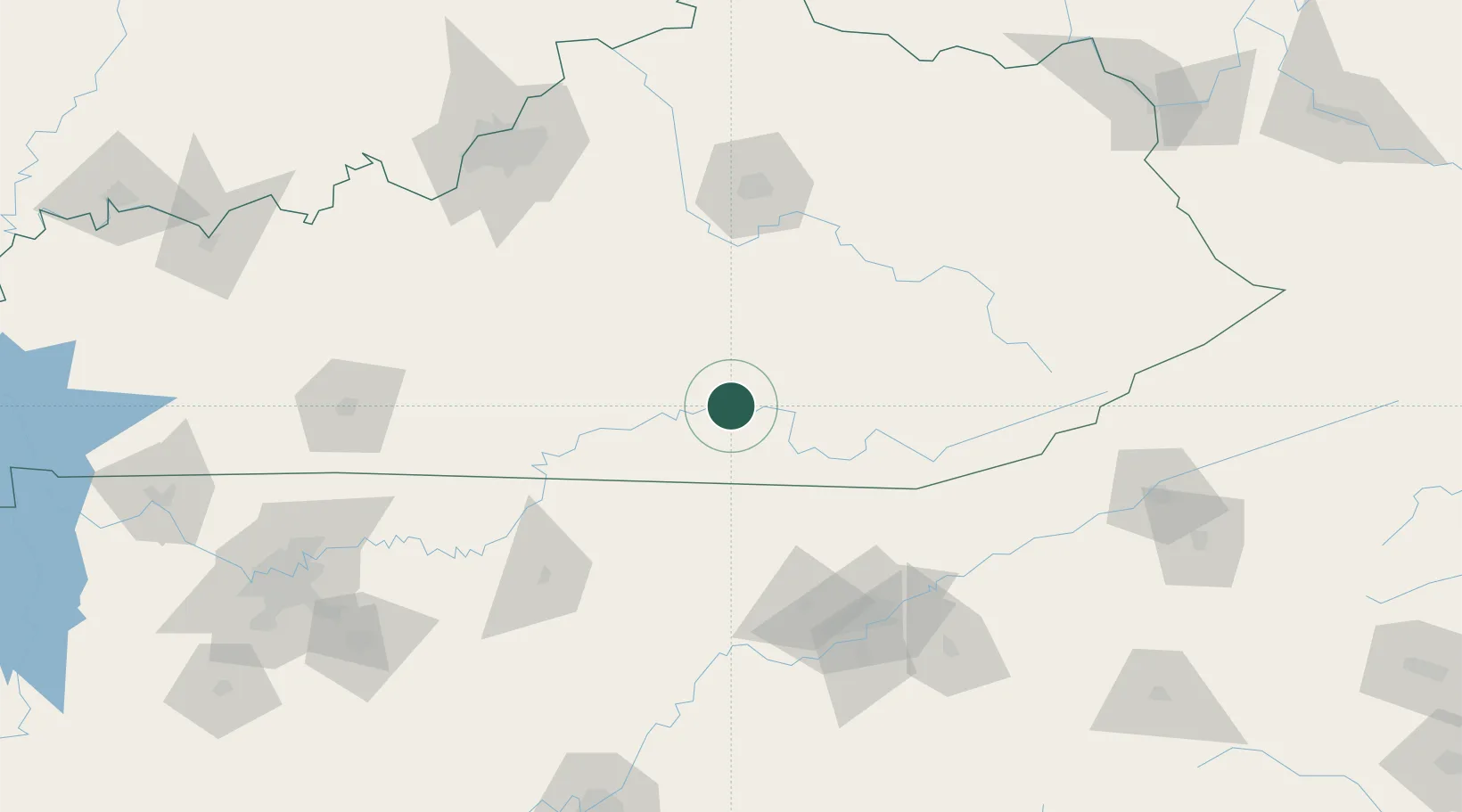
Place type
Populated place
Region
Kentucky
Time zone
America/New_York
Elevation
251 m
Location
Nearby Logistics Neighbours
Cities
- 1Burnside2 km
- 2Science Hill20 km
- 3Dunnville42 km
- 4Liberty47 km
- 5East Bernstadt50 km
Ports
- 1Huron522 km
- 2Sandusky523 km
- 3Port Clinton525 km
- 4Vermilion531 km
- 5Toledo534 km
Airports
Trade Zones
- 1FTZ No. 148 Knoxville116 km
- 2FTZ No. 029 Louisville177 km
- 3FTZ No. 204 Tri-Cities204 km
- 4FTZ No. 134 Chattanooga221 km
- 5FTZ No. 047 Boone County221 km
DatabookThe Record of Consolidated Knowledge
United States beyond logistics?