UN/LOCODE hub · United States
USXRO
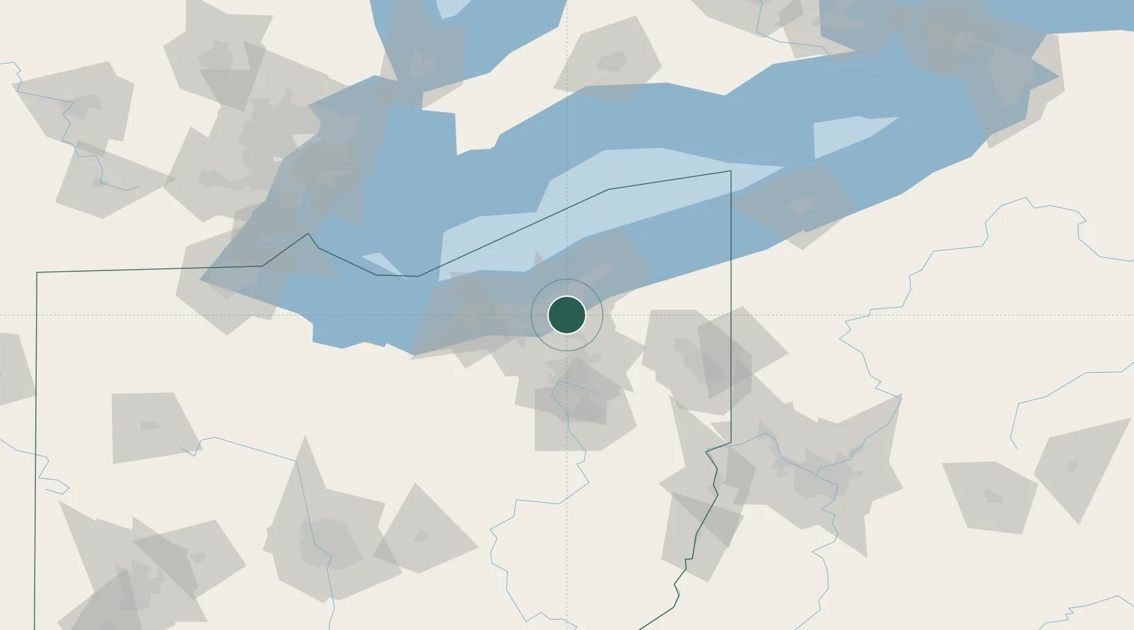
North Randall
41.4333°, -81.5333°
1,007
Population
2
Transport functions
Transport Functions
Rail
Road
Hub Profile
Place type
Populated place
Region
Ohio
Population
1,007
Time zone
America/New_York
Elevation
318 m
Location
Nearby Logistics Neighbours
Cities
- 1Shaker Heights4 km
- 2Woodmere6 km
- 3Cleveland8 km
- 4Glenwillow9 km
- 5Cleveland Heights9 km
Airports
Trade Zones
- 1FTZ No. 040 Cleveland27 km
- 2FTZ No. 181 Akron Canton56 km
- 3FTZ No. 247 Erie141 km
- 4Windsor - Essex Foreign Trade Zone158 km
- 5FTZ No. 033 Pittsburgh167 km
DatabookThe Record of Consolidated Knowledge
United States beyond logistics?