Transport Functions
Rail
Road
Airport
Hub Profile
Place type
Populated place
Region
New York
Population
2,516
Time zone
America/New_York
Elevation
186 m
Logistics facilities
2
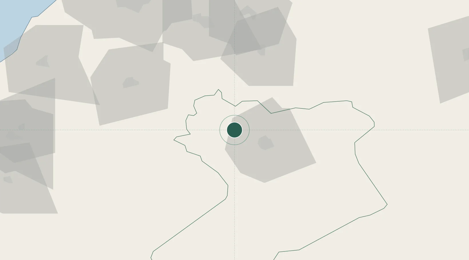
Location
Nearby Logistics Neighbours
Cities
- 1Sidi Bel Abbes63 km
- 2Es Senia98 km
- 3Oran98 km
- 4Bethioua100 km
- 5Oran Dry Port101 km
Ports
- 1Oran102 km
- 2Arzew106 km
- 3Mostaganem112 km
- 4Beni Saf131 km
- 5Ghazaouet169 km
Airports
Trade Zones
- 1Berkane Agro-Pole210 km
- 2Melilla Autonomous Community269 km
- 3Nador WestMed Free Zone289 km
- 4Ait Kamra Economic Activity Zone361 km
- 5Depósito Franco de Alicante381 km
DatabookThe Record of Consolidated Knowledge
United States beyond logistics?