UN/LOCODE hub · United States
USCO2
Crab Orchard
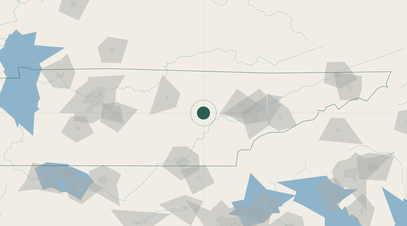
35.9000°, -84.8833°
759
Population
2
Transport functions
Transport Functions
Road
Multimodal
Hub Profile
Place type
Populated place
Region
Tennessee
Population
759
Time zone
America/Chicago
Elevation
511 m
Location
Nearby Logistics Neighbours
Cities
- 1Oakdale, Morgan31 km
- 2Wartburg35 km
- 3Coalfield44 km
- 4Niota55 km
- 5Jamestown58 km
Ports
- 1Beaufort547 km
- 2Savannah550 km
- 3Port Royal551 km
- 4Darien597 km
- 5Brunswick614 km
Airports
Trade Zones
- 1FTZ No. 148 Knoxville60 km
- 2FTZ No. 134 Chattanooga100 km
- 3FTZ No. 078 Nashville199 km
- 4FTZ No. 083 Huntsville221 km
- 5FTZ No. 204 Tri-Cities231 km
DatabookThe Record of Consolidated Knowledge
United States beyond logistics?