Transport Functions
Rail
Road
Hub Profile
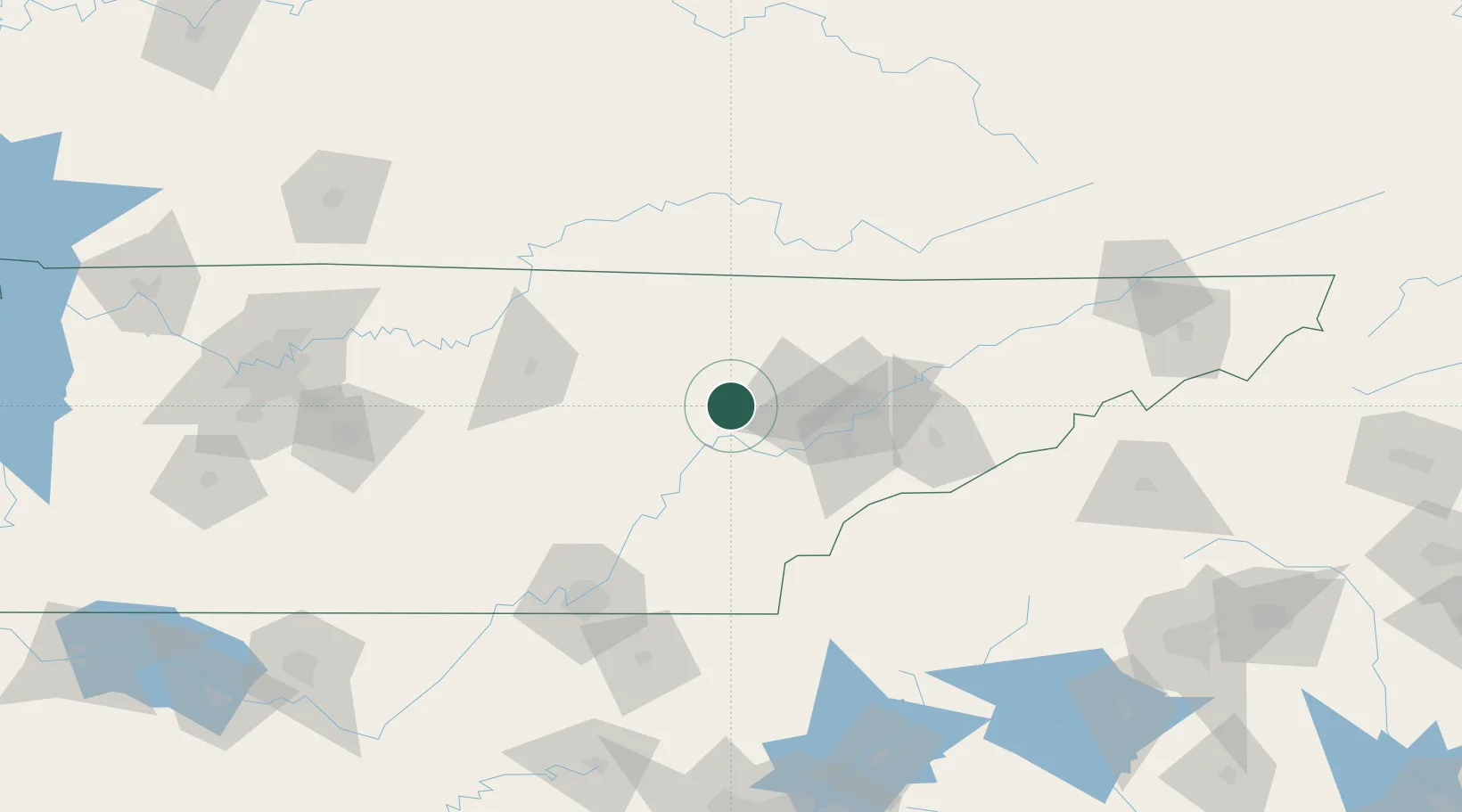
Region
TN
Location
Nearby Logistics Neighbours
Cities
- 1Coalfield13 km
- 2Wartburg13 km
- 3Crab Orchard31 km
- 4Lake City43 km
- 5Friendsville46 km
Ports
- 1Beaufort532 km
- 2Port Royal537 km
- 3Savannah539 km
- 4Darien589 km
- 5Brunswick607 km
Airports
Trade Zones
- 1FTZ No. 148 Knoxville29 km
- 2FTZ No. 134 Chattanooga124 km
- 3FTZ No. 204 Tri-Cities200 km
- 4FTZ No. 078 Nashville227 km
- 5FTZ No. 038 Spartanburg County241 km
DatabookThe Record of Consolidated Knowledge
United States beyond logistics?