Transport Functions
Road
Multimodal
Hub Profile
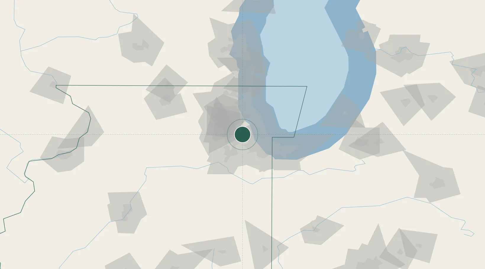
Region
IL
Location
Nearby Logistics Neighbours
Cities
- 1Willowbrook, DuPage4 km
- 2Western Springs4 km
- 3Oakbrook Terrace6 km
- 4Westchester7 km
- 5La Grange Park8 km
Ports
- 1Chicago30 km
- 2Calumet Harbor37 km
- 3Wilmette39 km
- 4Indiana Harbor45 km
- 5Gary55 km
Airports
Trade Zones
- 1FTZ No. 022 Chicago8 km
- 2FTZ No. 292 Lake County58 km
- 3FTZ No. 152 Burns Harbor69 km
- 4FTZ No. 176 Rockford116 km
- 5FTZ No. 125 South Bend134 km
DatabookThe Record of Consolidated Knowledge
United States beyond logistics?