UN/LOCODE hub · United States
USLPG
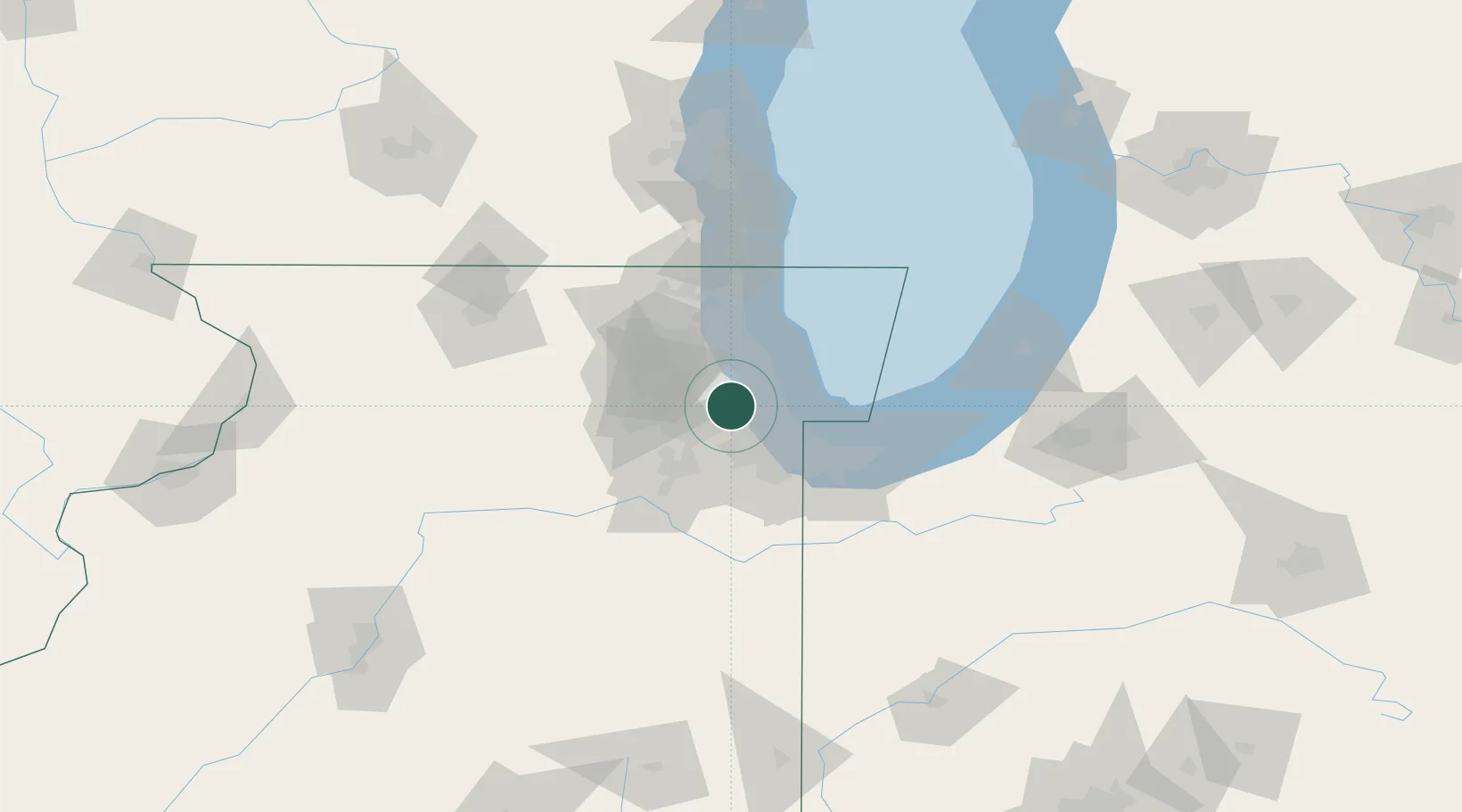
La Grange Park
41.8333°, -87.8667°
13,608
Population
2
Transport functions
Transport Functions
Rail
Road
Hub Profile
Place type
Populated place
Region
Illinois
Population
13,608
Time zone
America/Chicago
Elevation
190 m
Location
Nearby Logistics Neighbours
Cities
- 1Westchester1 km
- 2Brookfield3 km
- 3North Riverside5 km
- 4Western Springs5 km
- 5Stickney6 km
Ports
- 1Chicago23 km
- 2Calumet Harbor31 km
- 3Wilmette32 km
- 4Indiana Harbor40 km
- 5Gary50 km
Airports
Trade Zones
- 1FTZ No. 022 Chicago0 km
- 2FTZ No. 292 Lake County54 km
- 3FTZ No. 152 Burns Harbor63 km
- 4FTZ No. 176 Rockford120 km
- 5FTZ No. 125 South Bend127 km
DatabookThe Record of Consolidated Knowledge
United States beyond logistics?