UN/LOCODE hub · United States
US3WS
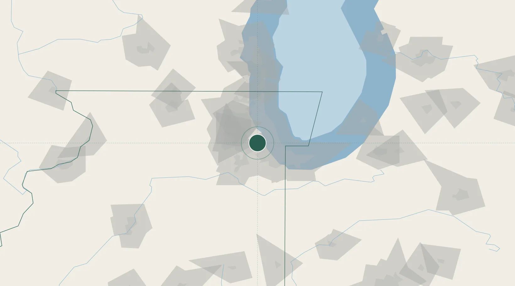
Western Springs
41.8000°, -87.9000°
13,369
Population
2
Transport functions
Transport Functions
Rail
Road
Hub Profile
Place type
Populated place
Region
Illinois
Population
13,369
Time zone
America/Chicago
Elevation
205 m
Location
Nearby Logistics Neighbours
Cities
- 1Westchester4 km
- 2Clarendon Hill4 km
- 3La Grange Park5 km
- 4Willowbrook, DuPage5 km
- 5Brookfield5 km
Ports
- 1Chicago27 km
- 2Calumet Harbor33 km
- 3Wilmette36 km
- 4Indiana Harbor42 km
- 5Gary51 km
Airports
Trade Zones
- 1FTZ No. 022 Chicago4 km
- 2FTZ No. 292 Lake County58 km
- 3FTZ No. 152 Burns Harbor65 km
- 4FTZ No. 176 Rockford119 km
- 5FTZ No. 125 South Bend130 km
DatabookThe Record of Consolidated Knowledge
United States beyond logistics?