UN/LOCODE hub · United States
USWOP

Willowbrook, DuPage

41.7667°, -87.9333°
2
Transport functions

Transport Functions

Rail
Road
UN/LOCODE

Hub Profile

Region
IL
GeoNames

Location

Location of USWOP
Natural Earth 10m (public domain) · IL · USWOP · 41.77, -87.93GoogleOSMYandex

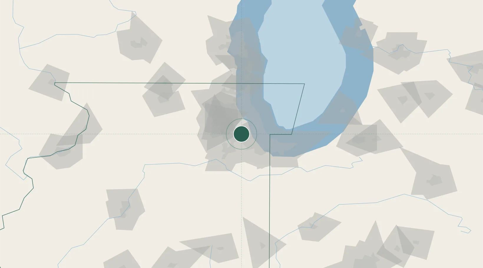
Nearby Logistics Neighbours

Cities
  1. 1Clarendon Hill4 km
  2. 2Western Springs5 km
  3. 3Westchester9 km
  4. 4Justice9 km
  5. 5Brookfield9 km
Nearest neighbours — logibook spatial index (haversine) over the source coordinates
Ports
  1. 1Chicago31 km
  2. 2Calumet Harbor35 km
  3. 3Wilmette41 km
  4. 4Indiana Harbor43 km
  5. 5Gary53 km
Nearest neighbours — logibook spatial index (haversine) over the source coordinates
Airports
  1. 1Chicago Midway International Airport15 km
  2. 2Chicago O'Hare International Airport24 km
  3. 3Dupage Airport31 km
  4. 4Chicago Executive Airport39 km
  5. 5Gary/Chicago International Airport46 km
Nearest neighbours — logibook spatial index (haversine) over the source coordinates
Trade Zones
  1. 1FTZ No. 022 Chicago9 km
  2. 2FTZ No. 292 Lake County62 km
  3. 3FTZ No. 152 Burns Harbor66 km
  4. 4FTZ No. 176 Rockford118 km
  5. 5FTZ No. 125 South Bend132 km
Nearest neighbours — logibook spatial index (haversine) over the source coordinates
DatabookThe Record of Consolidated Knowledge
United States beyond logistics?
Browse databook

All Sources

LocationsUN/LOCODE
UN/LOCODE — free
Portsthe NGA World Port Index
Public domain (US gov)
AirportsOurAirports
Public domain
Trade Zonesthe World Bank SEZ database
CC BY 4.0
Trade ZonesOpen Zone Map
CC BY
← United States locations