Transport Functions
Port
Road
Hub Profile
Place type
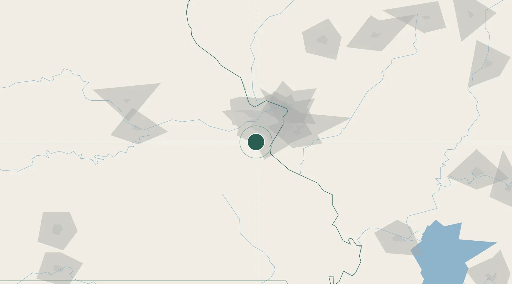
Populated place
Region
Missouri
Time zone
America/Chicago
Elevation
142 m
Location
Nearby Logistics Neighbours
Cities
- 1High Ridge6 km
- 2Crestwood16 km
- 3Catawissa18 km
- 4Valley Park18 km
- 5Imperial18 km
Ports
- 1Port Of Memphis372 km
- 2Indiana Harbor451 km
- 3Gary451 km
- 4Calumet Harbor452 km
- 5Chicago462 km
Airports
Trade Zones
- 1FTZ No. 102 St. Louis County30 km
- 2FTZ No. 031 Granite City49 km
- 3FTZ No. 245 Decatur208 km
- 4FTZ No. 294 Western Kentucky229 km
- 5FTZ No. 177 Evansville262 km
DatabookThe Record of Consolidated Knowledge
United States beyond logistics?