UN/LOCODE hub · United States
USAFA

Alstead

43.1500°, -72.3667°
2,071
Population
3
Transport functions

Transport Functions

Port
Road
Multimodal
UN/LOCODE

Hub Profile

Place type
Populated place
GeoNames
Region
New Hampshire
GeoNames
Population
2,071
GeoNames
Time zone
America/New_York
GeoNames
Elevation
147 m
GeoNames

Location

Location of USAFA
Natural Earth 10m (public domain) · New Hampshire · USAFA · 43.15, -72.37GoogleOSMYandex

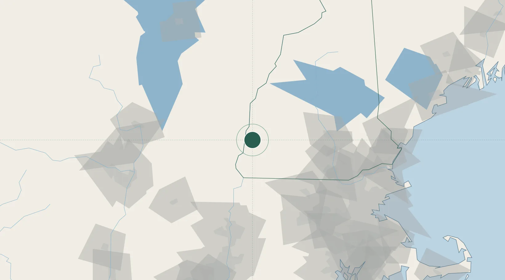
Nearby Logistics Neighbours

Cities
  1. 1Bellows Falls7 km
  2. 2Charlestown10 km
  3. 3Sullivan21 km
  4. 4Chester22 km
  5. 5Ascutney28 km
Nearest neighbours — logibook spatial index (haversine) over the source coordinates
Ports
  1. 1Troy118 km
  2. 2Albany126 km
  3. 3Rensselaer126 km
  4. 4Newburyport128 km
  5. 5Portsmouth131 km
Nearest neighbours — logibook spatial index (haversine) over the source coordinates
Airports
  1. 1Dillant Hopkins Airport29 km
  2. 2Lebanon Municipal Airport53 km
  3. 3Rutland - Southern Vermont Regional Airport63 km
  4. 4Concord Municipal Airport70 km
  5. 5Manchester-Boston Regional Airport79 km
Nearest neighbours — logibook spatial index (haversine) over the source coordinates
Trade Zones
  1. 1FTZ No. 268 Brattleboro37 km
  2. 2FTZ No. 201 Holyoke107 km
  3. 3FTZ No. 081 Portsmouth124 km
  4. 4FTZ No. 121 Albany128 km
  5. 5FTZ No. 071 Windsor Locks137 km
Nearest neighbours — logibook spatial index (haversine) over the source coordinates
DatabookThe Record of Consolidated Knowledge
United States beyond logistics?
Browse databook

All Sources

LocationsUN/LOCODE
UN/LOCODE — free
LocationsGeoNames
CC BY 4.0
Portsthe NGA World Port Index
Public domain (US gov)
AirportsOurAirports
Public domain
Trade Zonesthe World Bank SEZ database
CC BY 4.0
Trade ZonesOpen Zone Map
CC BY
← United States locations