Transport Functions
Rail
Road
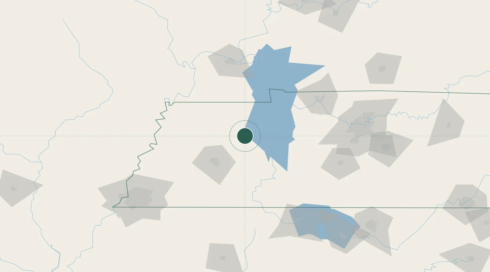
Hub Profile
Place type
Urban district
Region
Missouri
Time zone
America/Chicago
Elevation
224 m
Location
Nearby Logistics Neighbours
Cities
- 1Bruceton17 km
- 2Henry20 km
- 3Halls26 km
- 4Greenfield38 km
- 5Trenton47 km
Ports
- 1Port Of Memphis190 km
- 2Mobile594 km
- 3Biloxi628 km
- 4Gary630 km
- 5Pascagoula630 km
Airports
Trade Zones
- 1FTZ No. 283 West Tennessee117 km
- 2FTZ No. 294 Western Kentucky118 km
- 3FTZ No. 078 Nashville123 km
- 4FTZ No. 223 Memphis182 km
- 5FTZ No. 273 West Memphis188 km
DatabookThe Record of Consolidated Knowledge
United States beyond logistics?