Transport Functions
Road
Multimodal
Hub Profile
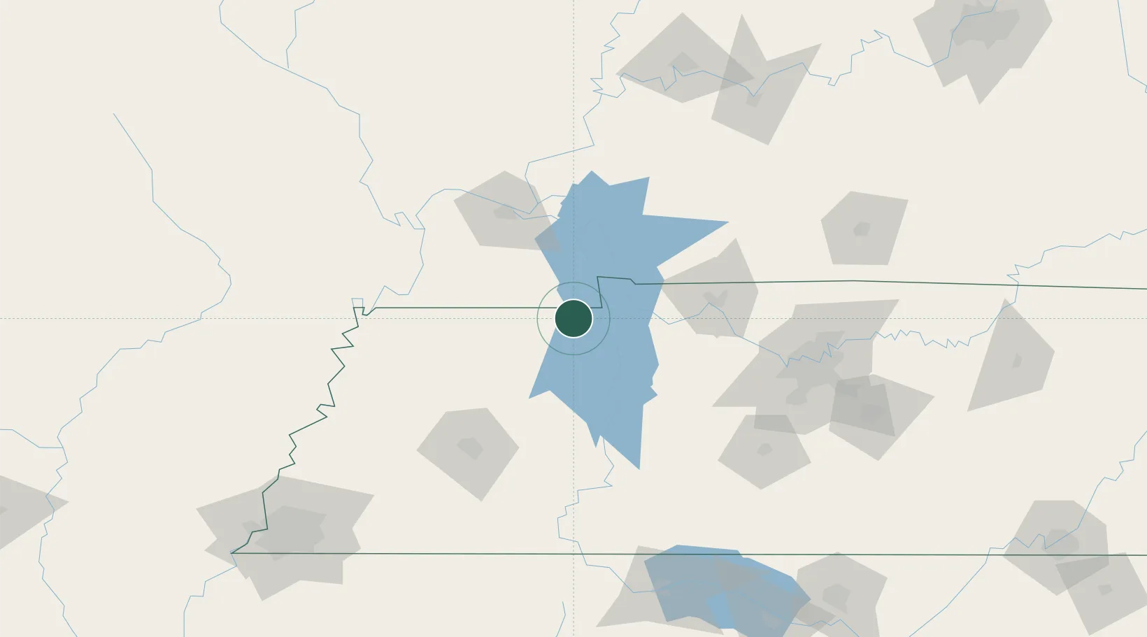
Place type
Populated place
Region
Tennessee
Time zone
America/Chicago
Elevation
135 m
Location
Nearby Logistics Neighbours
Cities
- 1Puryear10 km
- 2Henry32 km
- 3Halls34 km
- 4Farmington37 km
- 5Bruceton43 km
Ports
- 1Port Of Memphis233 km
- 2Gary581 km
- 3Indiana Harbor586 km
- 4Calumet Harbor592 km
- 5Michigan City600 km
Airports
Trade Zones
- 1FTZ No. 294 Western Kentucky78 km
- 2FTZ No. 078 Nashville107 km
- 3FTZ No. 283 West Tennessee151 km
- 4FTZ No. 177 Evansville182 km
- 5FTZ No. 223 Memphis224 km
DatabookThe Record of Consolidated Knowledge
United States beyond logistics?