Transport Functions
Road
Multimodal
Hub Profile
Place type
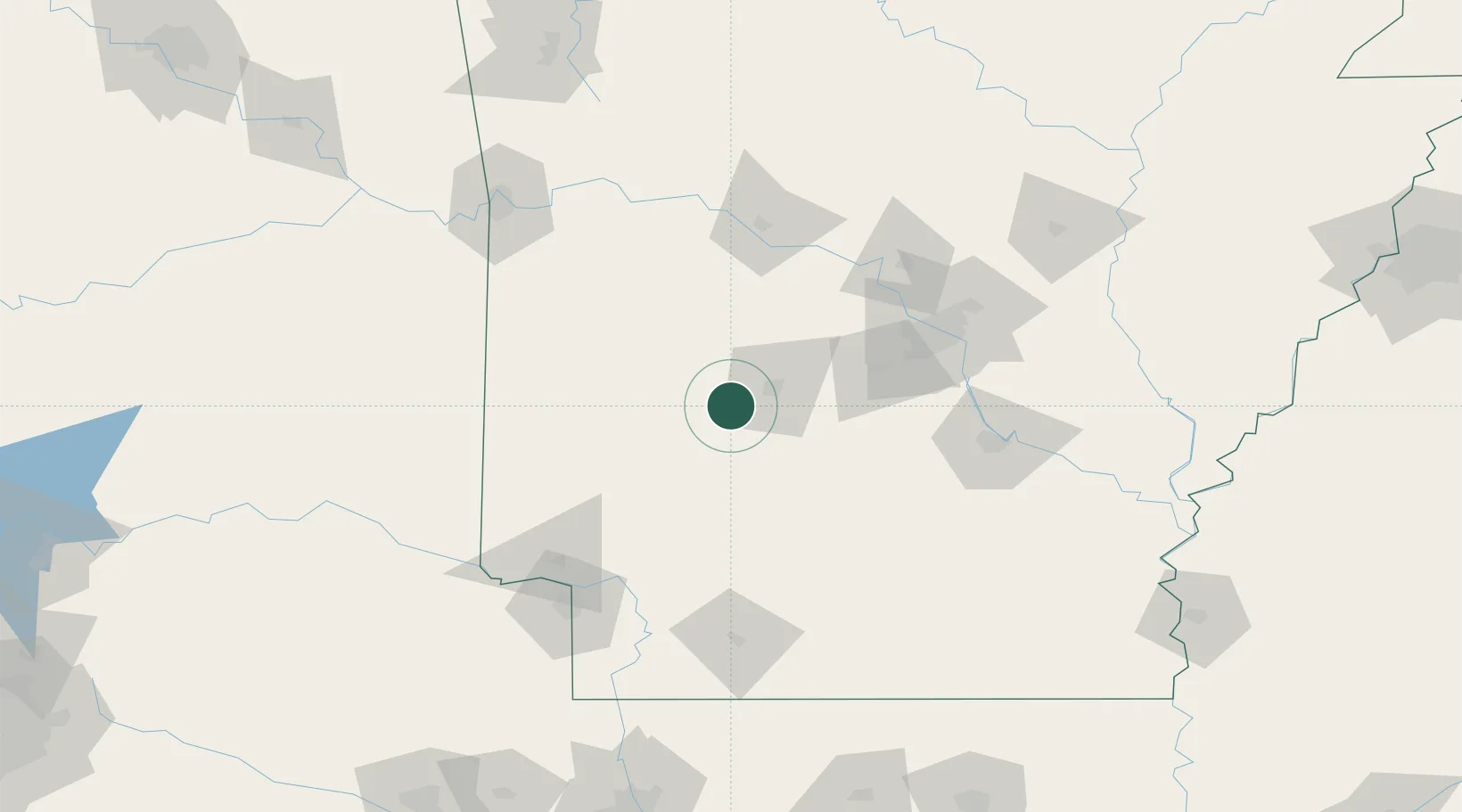
Populated place
Region
Arkansas
Time zone
America/Chicago
Elevation
184 m
Location
Nearby Logistics Neighbours
Cities
- 1Royal10 km
- 2Bismarck17 km
- 3Glenwood25 km
- 4Hot Springs National Park26 km
- 5Clear Lake33 km
Ports
- 1Port Of Memphis294 km
- 2Lake Charles467 km
- 3Baton Rouge483 km
- 4Orange484 km
- 5Beaumont488 km
Airports
Trade Zones
- 1FTZ No. 014 Little Rock105 km
- 2FTZ No. 258 Bowie County166 km
- 3FTZ No. 145 Shreveport226 km
- 4FTZ No. 146 Lawrence County226 km
- 5FTZ No. 287 Tunica County241 km
DatabookThe Record of Consolidated Knowledge
United States beyond logistics?