Transport Functions
Multimodal
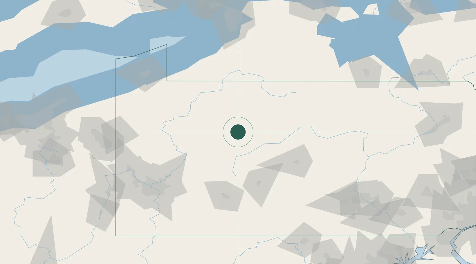
Hub Profile
Place type
Populated place
Region
Pennsylvania
Time zone
America/New_York
Elevation
452 m
Location
Nearby Logistics Neighbours
Cities
- 1Reynoldsville23 km
- 2Wilcox35 km
- 3Pine Grove, Clearfield37 km
- 4Middleton41 km
- 5Punxsutawney41 km
Ports
- 1Dunkirk146 km
- 2Erie152 km
- 3Conneaut172 km
- 4Buffalo182 km
- 5Port Colborne187 km
Airports
Trade Zones
- 1FTZ No. 295 Central Pennsylvania15 km
- 2FTZ No. 254 Jefferson County21 km
- 3FTZ No. 033 Pittsburgh145 km
- 4FTZ No. 247 Erie150 km
- 5FTZ No. 023 Buffalo181 km
DatabookThe Record of Consolidated Knowledge
United States beyond logistics?