Transport Functions
Multimodal
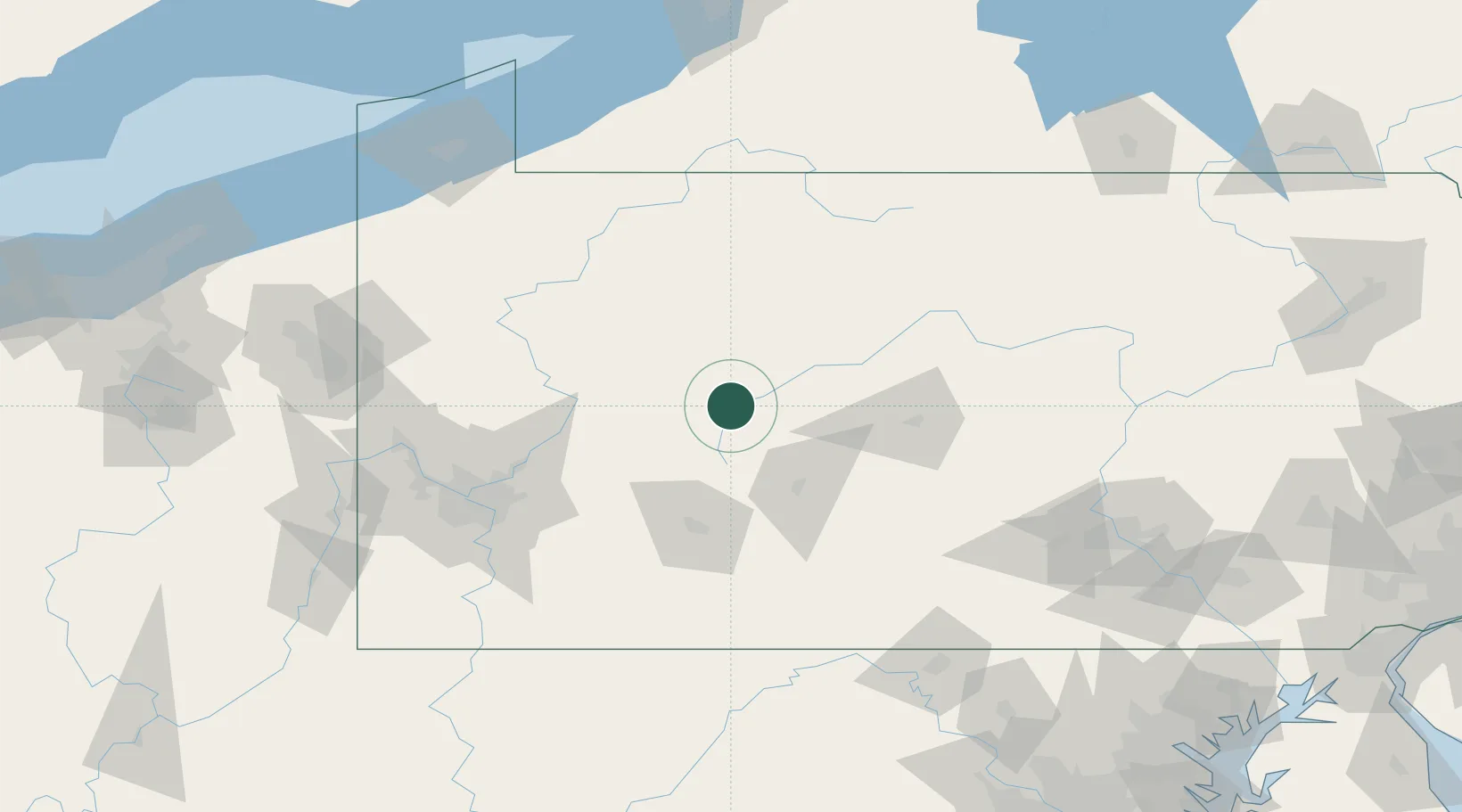
Hub Profile
Place type
Populated place
Region
Pennsylvania
Time zone
America/New_York
Elevation
393 m
Location
Nearby Logistics Neighbours
Cities
- 1Thompsontown12 km
- 2Cherry Tree19 km
- 3Olanta20 km
- 4Irvona20 km
- 5Punxsutawney20 km
Airports
Trade Zones
- 1FTZ No. 295 Central Pennsylvania25 km
- 2FTZ No. 254 Jefferson County61 km
- 3FTZ No. 033 Pittsburgh122 km
- 4FTZ No. 240 Martinsburg170 km
- 5FTZ No. 247 Erie178 km
DatabookThe Record of Consolidated Knowledge
United States beyond logistics?