Transport Functions
Port
Rail
Road
Multimodal
Hub Profile
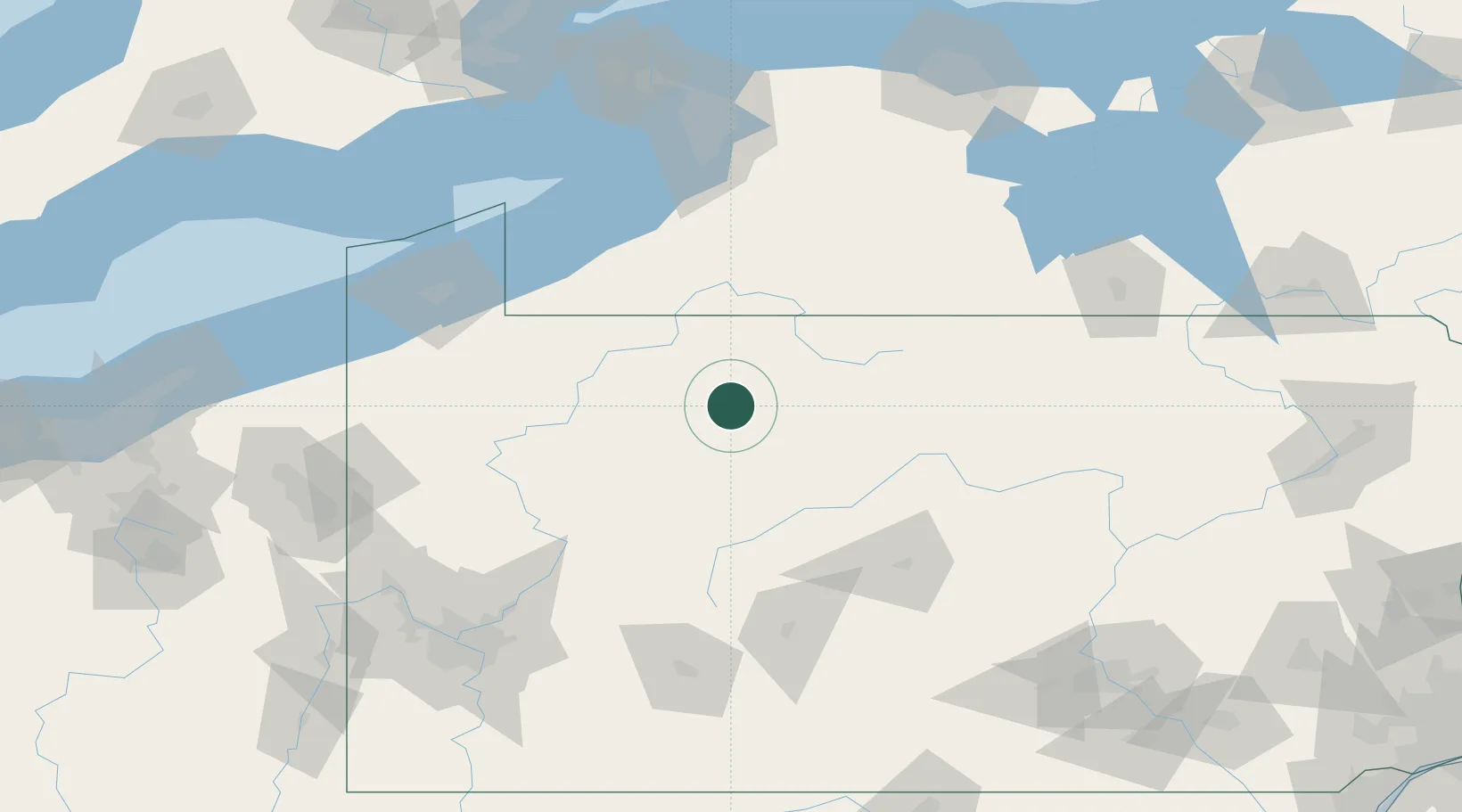
Place type
Populated place
Region
Pennsylvania
Population
383
Time zone
America/New_York
Elevation
465 m
Location
Nearby Logistics Neighbours
Cities
- 1Mckean30 km
- 2Smethport33 km
- 3Hazelton Mills35 km
- 4Brockport35 km
- 5Clarendon Heights42 km
Ports
- 1Dunkirk115 km
- 2Erie134 km
- 3Buffalo147 km
- 4Port Colborne154 km
- 5Port Maitland161 km
Airports
Trade Zones
- 1FTZ No. 254 Jefferson County16 km
- 2FTZ No. 295 Central Pennsylvania51 km
- 3FTZ No. 247 Erie133 km
- 4FTZ No. 023 Buffalo146 km
- 5FTZ No. 289 Ontario County166 km
DatabookThe Record of Consolidated Knowledge
United States beyond logistics?