UN/LOCODE hub · United States
USKV4
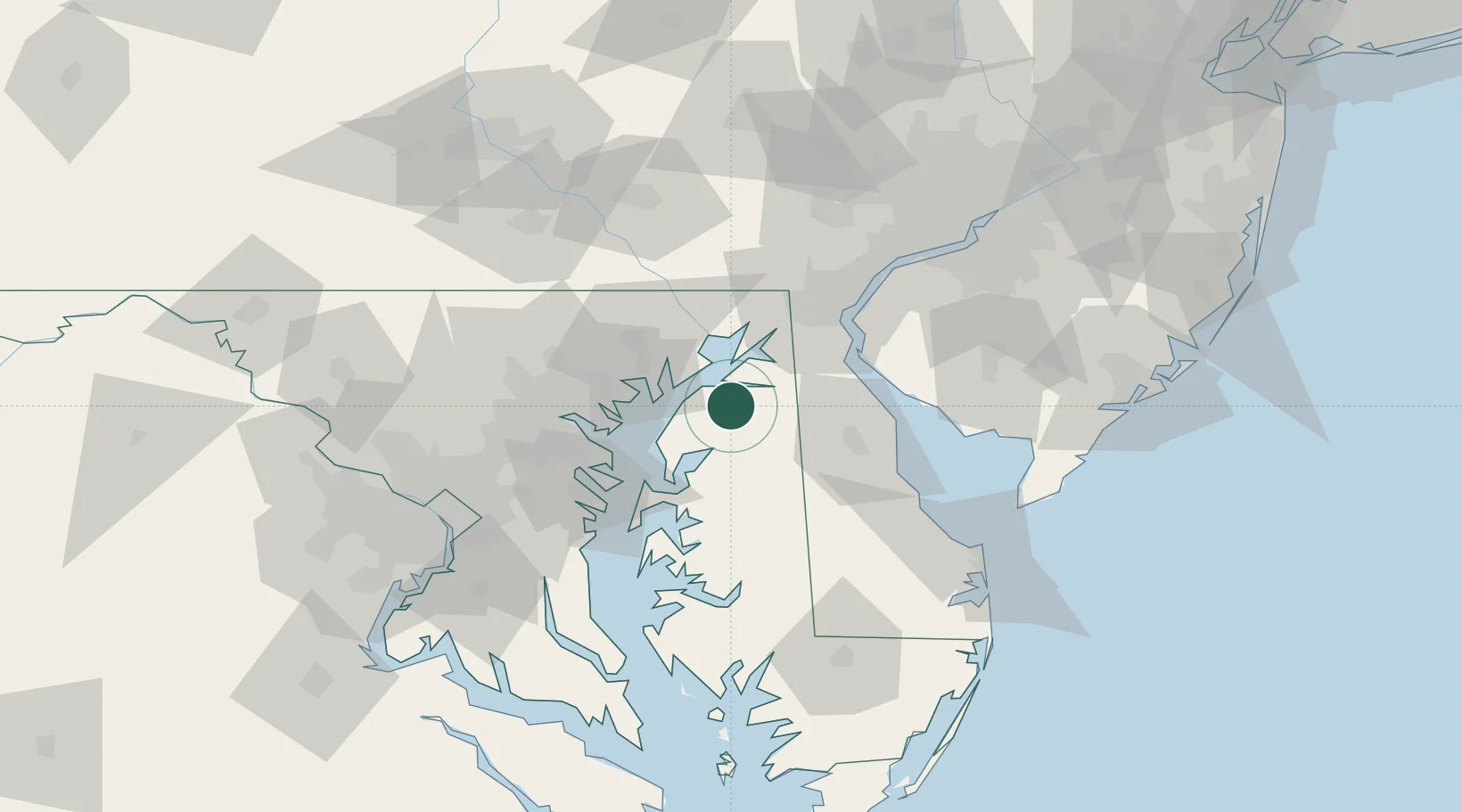
Kennedyville
39.3000°, -76.0000°
199
Population
2
Transport functions
Transport Functions
Rail
Road
Hub Profile
Place type
Populated place
Region
Maryland
Population
199
Time zone
America/New_York
Elevation
21 m
Location
Nearby Logistics Neighbours
Cities
- 1Massey14 km
- 2Barclay22 km
- 3Perryman25 km
- 4Belcamp27 km
- 5Chesapeake City30 km
Ports
- 1Havre De Grace27 km
- 2Baltimore50 km
- 3New Castle54 km
- 4Annapolis55 km
- 5Salem Nj60 km
Airports
Trade Zones
- 1FTZ No. 074 Baltimore52 km
- 2FTZ No. 073 BWI Airport59 km
- 3FTZ No. 099 Wilmington63 km
- 4FTZ No. 142 Salem Millville76 km
- 5FTZ No. 035 Philadelphia101 km
DatabookThe Record of Consolidated Knowledge
United States beyond logistics?