Transport Functions
Port
Road
Hub Profile
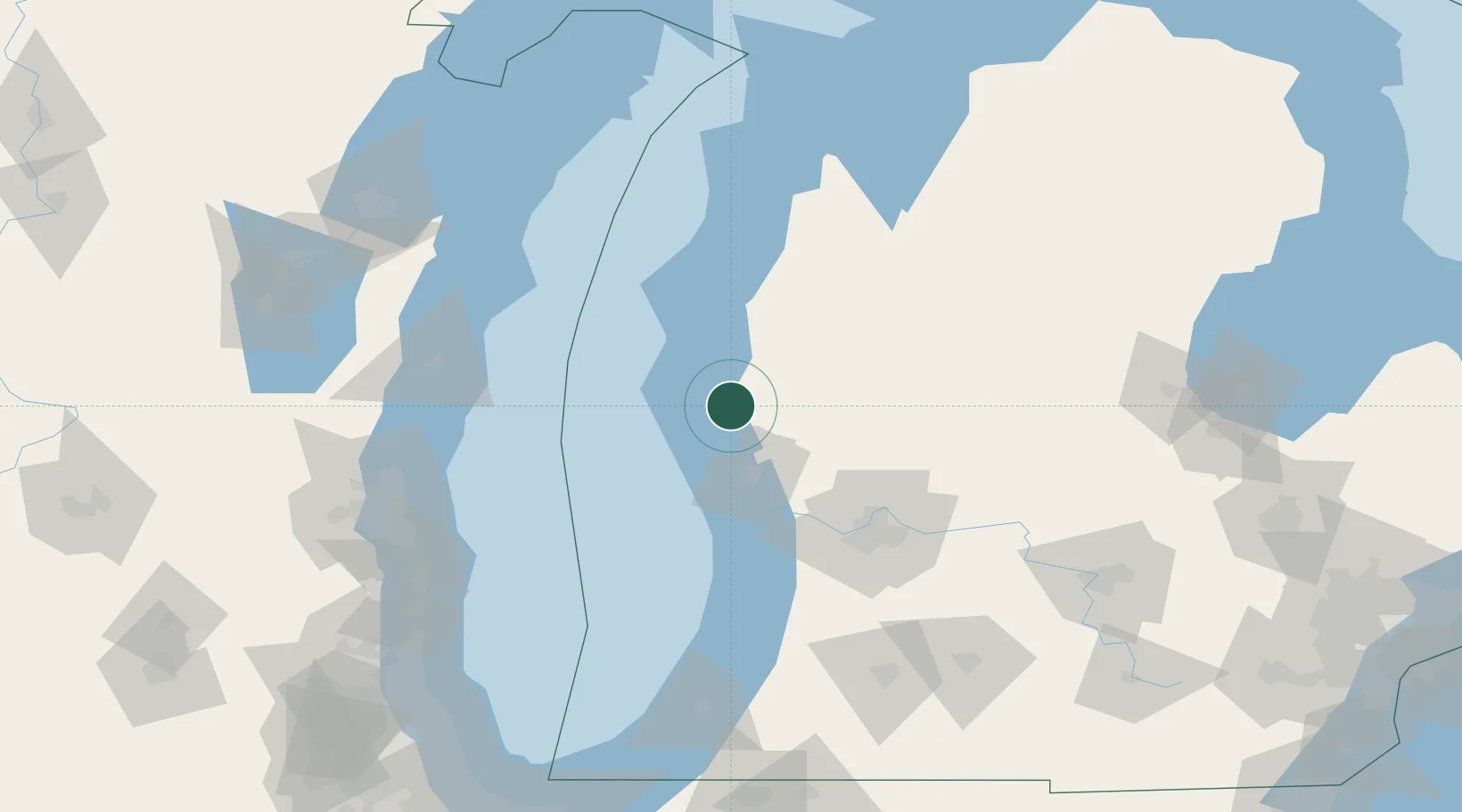
Place type
Populated place
Region
Michigan
Population
445
Time zone
America/Detroit
Elevation
231 m
Location
Nearby Logistics Neighbours
Ports
- 1White Lake19 km
- 2Muskegon36 km
- 3Ludington46 km
- 4Grand Haven54 km
- 5Manistee78 km
Airports
Trade Zones
- 1FTZ No. 189 Kent Ottawa/Muskegon Counties35 km
- 2FTZ No. 019 Omaha44 km
- 3FTZ No. 101 Clinton County146 km
- 4FTZ No. 041 Milwaukee154 km
- 5FTZ No. 043 Battle Creek160 km
DatabookThe Record of Consolidated Knowledge
United States beyond logistics?