UN/LOCODE hub · United States
USOKV
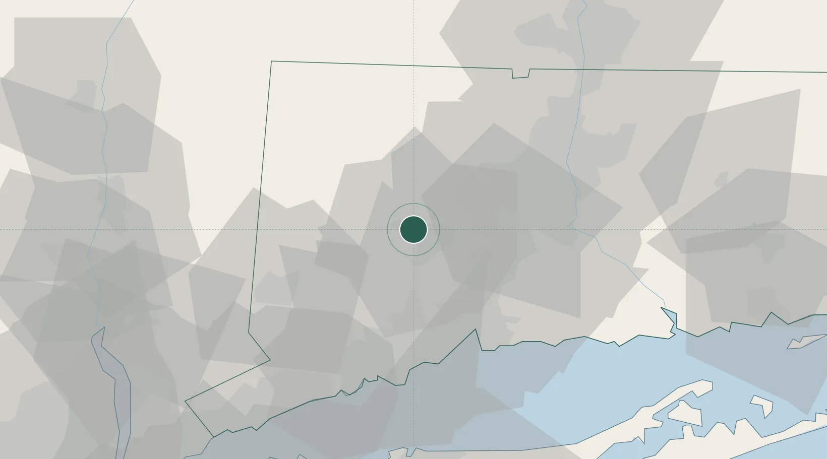
Oakville
41.5833°, -73.0833°
9,047
Population
3
Transport functions
Transport Functions
Port
Rail
Road
Hub Profile
Place type
Populated place
Region
Connecticut
Population
9,047
Time zone
America/New_York
Elevation
168 m
Location
Nearby Logistics Neighbours
Cities
- 1Wolcott9 km
- 2Plymouth10 km
- 3Bethlehem11 km
- 4Terryville12 km
- 5Morris15 km
Ports
- 1New Haven41 km
- 2Bridgeport47 km
- 3Southport53 km
- 4Norwalk61 km
- 5Essex64 km
Airports
Trade Zones
- 1FTZ No. 162 New Haven34 km
- 2FTZ No. 076 Bridgeport46 km
- 3FTZ No. 071 Windsor Locks54 km
- 4FTZ No. 052 Suffolk County74 km
- 5FTZ No. 201 Holyoke78 km
DatabookThe Record of Consolidated Knowledge
United States beyond logistics?