Transport Functions
Port
Road
Multimodal
Hub Profile
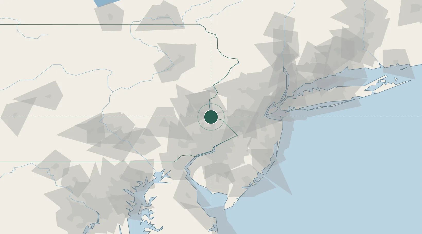
Place type
Populated place
Region
Pennsylvania
Time zone
America/New_York
Elevation
121 m
Location
Nearby Logistics Neighbours
Cities
- 1Frenchtown11 km
- 2Dublin12 km
- 3Perkasie15 km
- 4Sellersville17 km
- 5Lahaska17 km
Ports
- 1Trenton45 km
- 2Bristol49 km
- 3Burlington50 km
- 4Philadelphia58 km
- 5Camden58 km
Airports
Trade Zones
DatabookThe Record of Consolidated Knowledge
United States beyond logistics?