UN/LOCODE hub · United States
USBEX
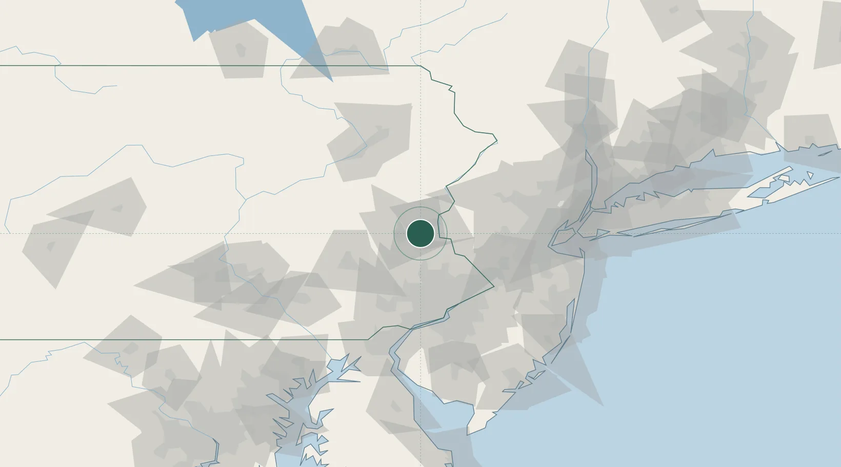
Bethlehem
40.6033°, -75.3406°
74,892
Population
3
Transport functions
Transport Functions
Port
Road
Airport
Hub Profile
Place type
Populated place
Region
Pennsylvania
Population
74,892
Time zone
America/New_York
Elevation
109 m
Logistics facilities
1
Location
Nearby Logistics Neighbours
Cities
- 1Center Valley9 km
- 2Northampton15 km
- 3Alpha17 km
- 4Ottsville21 km
- 5Walnutport26 km
Ports
- 1Trenton66 km
- 2Bristol70 km
- 3Burlington70 km
- 4Philadelphia75 km
- 5Camden75 km
Airports
Trade Zones
DatabookThe Record of Consolidated Knowledge
United States beyond logistics?