Transport Functions
Multimodal
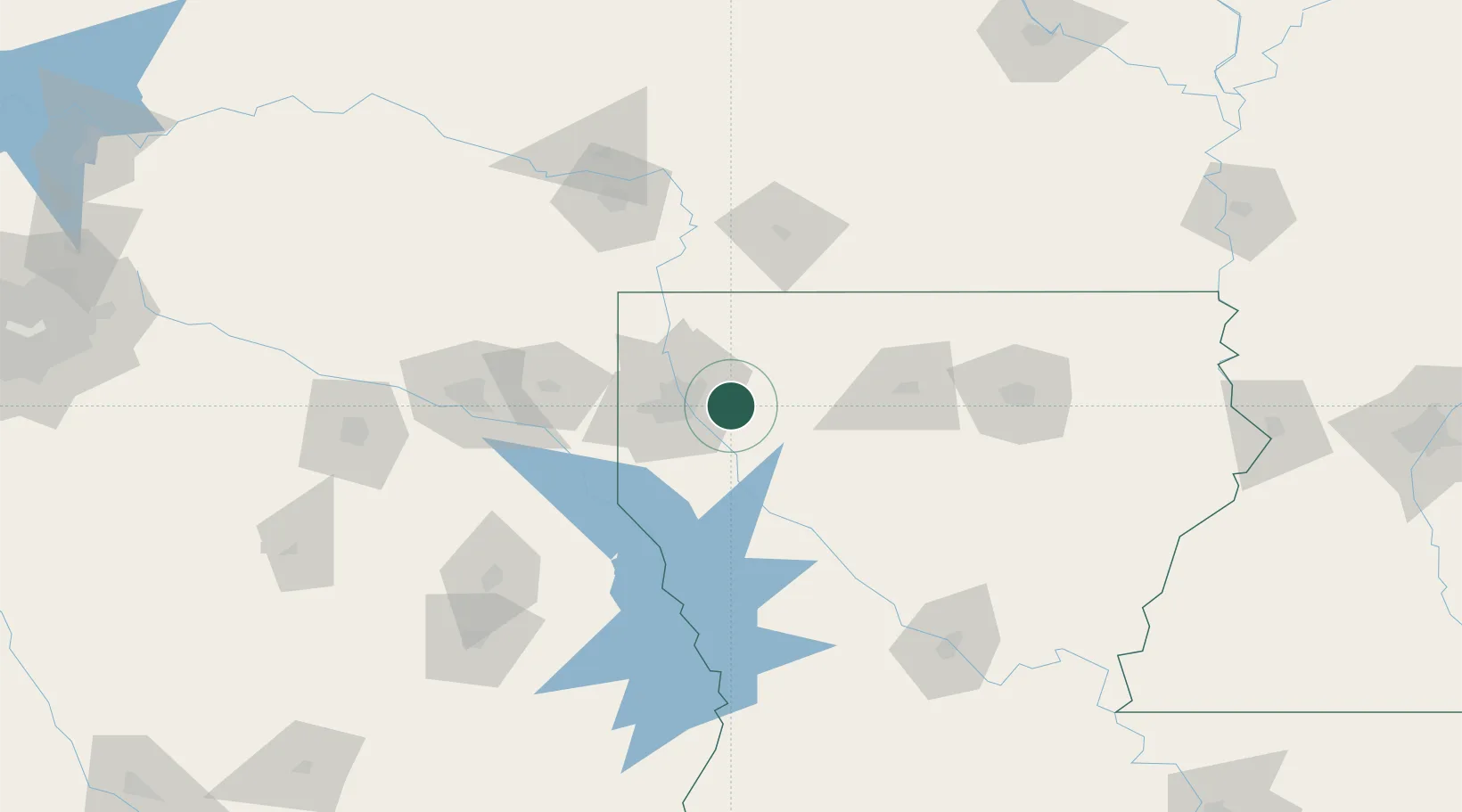
Hub Profile
Place type
Populated place
Region
Louisiana
Time zone
America/Chicago
Elevation
61 m
Location
Nearby Logistics Neighbours
Cities
- 1Haughton7 km
- 2Princeton13 km
- 3Benton35 km
- 4Keithville36 km
- 5Taylor37 km
Ports
- 1Lake Charles251 km
- 2Orange266 km
- 3Beaumont271 km
- 4Port Neches278 km
- 5Port Arthur296 km
Airports
Trade Zones
- 1FTZ No. 145 Shreveport43 km
- 2FTZ No. 146 Lawrence County43 km
- 3FTZ No. 234 Gregg County134 km
- 4FTZ No. 258 Bowie County157 km
- 5FTZ No. 297 Lufkin177 km
DatabookThe Record of Consolidated Knowledge
United States beyond logistics?