Diversified Zone · China

Corps Caohu Industrial Park Active
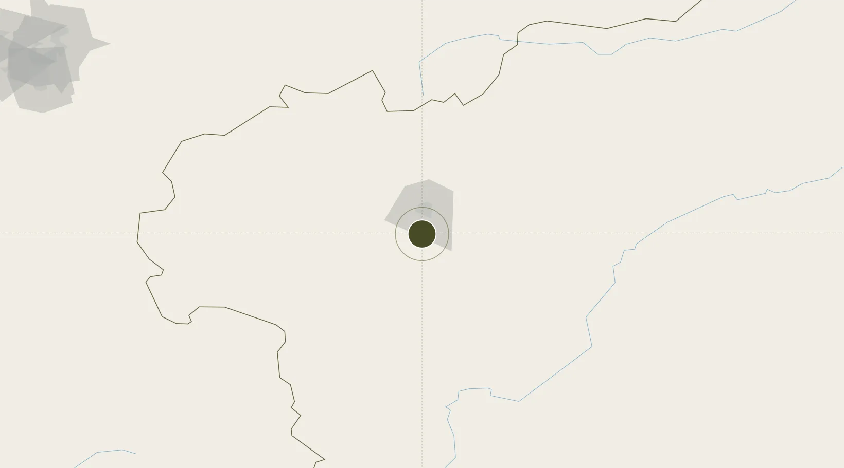
39.2740°, 75.9711°
1,000 ha
Zone area
1,804.1 km
Nearest port
30.1 km
Nearest airport

Gateway access

Nearest neighbours — logibook spatial index (haversine) over the source coordinates

Zone profile

Zone type
Diversified Zone
Open Zone Map
Region
Xinjiang
Open Zone Map
Status
Active
Open Zone Map
Management
Public
Open Zone Map
Operator
Corps Caohu Industrial Park Management Committee
Open Zone Map
Legal framework
It was approved by the XPCC in March 2013
Open Zone Map

Location

Location of ozm-676
Natural Earth 10m (public domain) · Xinjiang · ozm-676 · 39.27, 75.97GoogleOSMYandex

Nearby Logistics Neighbours

Ports
  1. 1Muhamamad Bin Qasim1804 km
  2. 2Karachi1818 km
  3. 3Kandla1886 km
  4. 4Navlakhi1888 km
  5. 5Mandvi1932 km
Nearest neighbours — logibook spatial index (haversine) over the source coordinates
Airports
  1. 1Kashgar Laining International Airport30 km
  2. 2Shache Airport148 km
  3. 3Tashikuergan Hongqilafu Airport189 km
  4. 4Naryn Airport241 km
  5. 5Tumxuk Tangwangcheng Airport288 km
Nearest neighbours — logibook spatial index (haversine) over the source coordinates
Cities
  1. 1Bay Head187 km
  2. 2Wysox280 km
  3. 3Cos Cob281 km
  4. 4Osh304 km
  5. 5Asaka353 km
Nearest neighbours — logibook spatial index (haversine) over the source coordinates
Trade Zones
  1. 1Akto Jiangxi Industrial Park39 km
  2. 2Atushi Industrial Park43 km
  3. 3Yuepu Lake Taiyue Industrial Park71 km
  4. 4Naryn Special Economic Zone240 km
  5. 5Pishan Three Gorges Industrial Park277 km
Nearest neighbours — logibook spatial index (haversine) over the source coordinates
DatabookThe Record of Consolidated Knowledge
China beyond logistics?
Browse databook

All Sources

Trade ZonesOpen Zone Map
CC BY
Portsthe NGA World Port Index
Public domain (US gov)
AirportsOurAirports
Public domain
LocationsUN/LOCODE
UN/LOCODE — free
← China trade zones