Transport Functions
Multimodal
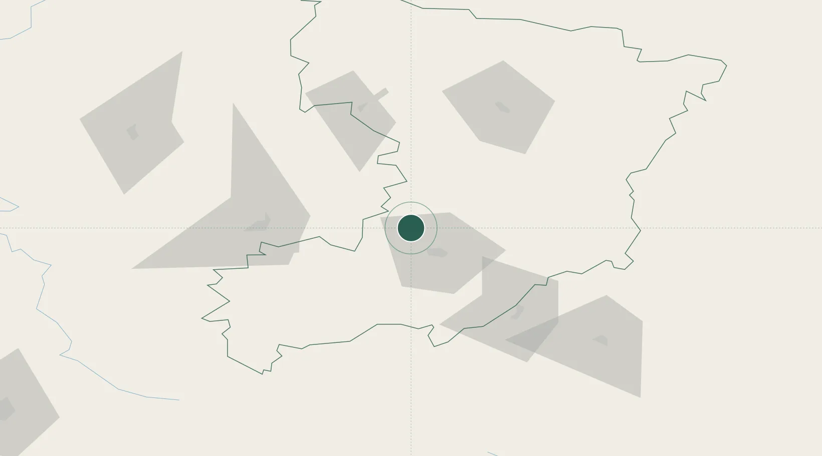
Hub Profile
Place type
Populated place
Region
Rivne
Population
3,835
Time zone
Europe/Kyiv
Elevation
175 m
Location
Nearby Logistics Neighbours
Cities
- 1Rivne6 km
- 2Shepetovka93 km
- 3Novohrad-Volyns'kyy106 km
- 4Kovel'111 km
- 5Berezovitsa116 km
Ports
- 1Kaliningrad580 km
- 2Odesa583 km
- 3Yuzhnyy585 km
- 4Belgorod-Dnestrovsky597 km
- 5Illichivsk597 km
Airports
- 1Rivne International Airport16 km
- 2Khmelnytskyi Airport165 km
- 3Lviv International Airport186 km
- 4Ozerne Air Base197 km
- 5Brest International Airport216 km
Trade Zones
DatabookThe Record of Consolidated Knowledge
Ukraine beyond logistics?