Medium airport · Ukraine

Khmelnytskyi AirportUKLH
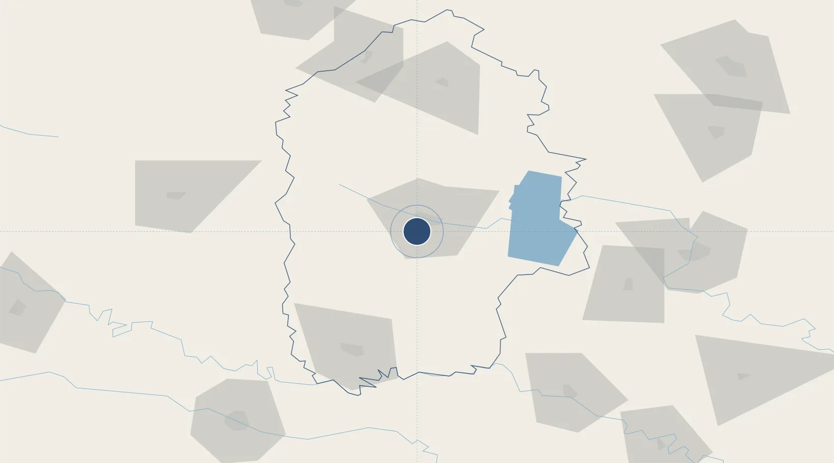
49.3597°, 26.9334°
7,219 ft
Longest runway
1
Runways
1,150 ft
Elevation

Runway & Layout

Khmelnytskyi Airport runway & taxiway layout
Runway & taxiway layout — OpenStreetMap (ODbL) / OurAirports

Runways · 1

RunwayDimensions SurfaceTrue headingLit
16/34 7,219 × 140ft Concrete 166°
OurAirports

Airport Specifications

IATA code
HMJ
OurAirports
ICAO code
UKLH
OurAirports
Airport class
Medium airport
OurAirports
Scheduled service
No
OurAirports
Runway surface
Concrete
OurAirports
Served city
Khmelnytskyi
OurAirports

Location

Location of UKLH
Natural Earth 10m (public domain) · Khmel'nyts'kyy · UKLH · 49.36, 26.93GoogleOSMYandex

Nearby Logistics Neighbours

Airports
  1. 1Vinnytsia/Gavyryshivka International Airport123 km
  2. 2Chernivtsi International Airport141 km
  3. 3Rivne International Airport150 km
  4. 4Ozerne Air Base157 km
  5. 5Ivano-Frankivsk International Airport172 km
Nearest neighbours — logibook spatial index (haversine) over the source coordinates
Cities
  1. 1Starokonstantinov48 km
  2. 2Bar62 km
  3. 3Shepetovka90 km
  4. 4Terebovlya91 km
  5. 5Berezovitsa109 km
Nearest neighbours — logibook spatial index (haversine) over the source coordinates
Ports
  1. 1Odesa427 km
  2. 2Yuzhnyy432 km
  3. 3Belgorod-Dnestrovsky437 km
  4. 4Illichivsk439 km
  5. 5Galati447 km
Nearest neighbours — logibook spatial index (haversine) over the source coordinates
DatabookThe Record of Consolidated Knowledge
Ukraine beyond logistics?
Browse databook

All Sources

AirportsOurAirports
Public domain
Portsthe NGA World Port Index
Public domain (US gov)
LocationsUN/LOCODE
UN/LOCODE — free
Trade Zonesthe World Bank SEZ database
CC BY 4.0
Trade ZonesOpen Zone Map
CC BY
InfrastructureOpenStreetMap
ODbL 1.0
← Ukraine airports