Transport Functions
Rail
Road
Hub Profile
Place type
Provincial seat
Region
Volyn
Population
67,575
Time zone
Europe/Kyiv
Elevation
172 m
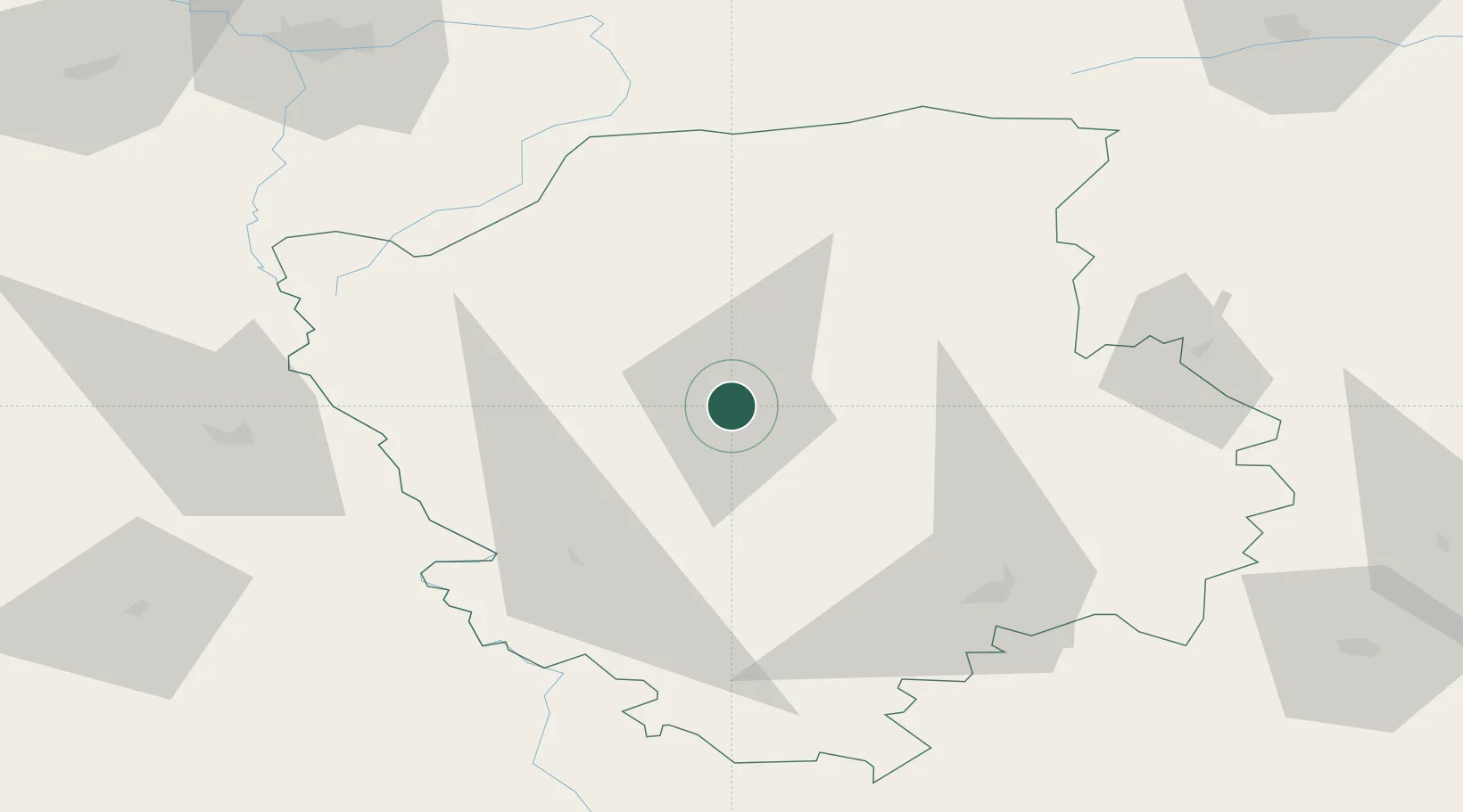
Location
Nearby Logistics Neighbours
Cities
- 1Orane59 km
- 2Dorohusk64 km
- 3Novovolyns'k66 km
- 4Hrubieszów73 km
- 5Teresin76 km
Ports
- 1Kaliningrad480 km
- 2Baltiysk498 km
- 3Gdansk535 km
- 4Nowy Port540 km
- 5Gdynia554 km
Airports
- 1Brest International Airport114 km
- 2Rivne International Airport121 km
- 3Lublin Airport140 km
- 4Osovtsy Air Base150 km
- 5Lviv International Airport165 km
Trade Zones
DatabookThe Record of Consolidated Knowledge
Ukraine beyond logistics?