Transport Functions
Multimodal
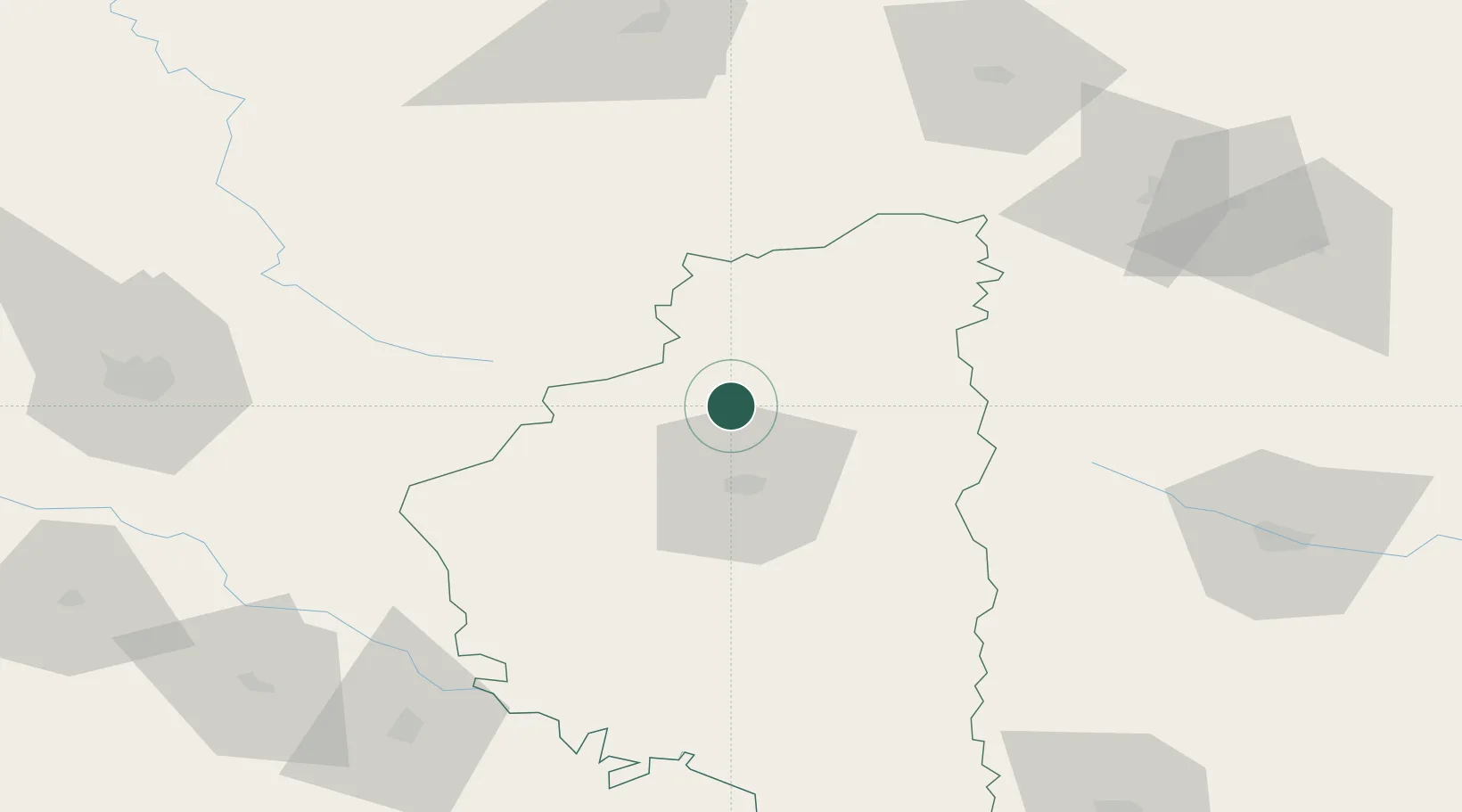
Hub Profile
Place type
Populated place
Region
Ivano-Frankivsk
Time zone
Europe/Kyiv
Elevation
335 m
Location
Nearby Logistics Neighbours
Cities
- 1Ozerna25 km
- 2Fagaras43 km
- 3Terebovlya54 km
- 4Radekhiv87 km
- 5Rivne114 km
Ports
- 1Galati519 km
- 2Reni524 km
- 3Odesa529 km
- 4Braila534 km
- 5Belgorod-Dnestrovsky535 km
Airports
DatabookThe Record of Consolidated Knowledge
Ukraine beyond logistics?