Transport Functions
Rail
Road
Hub Profile
Region
68
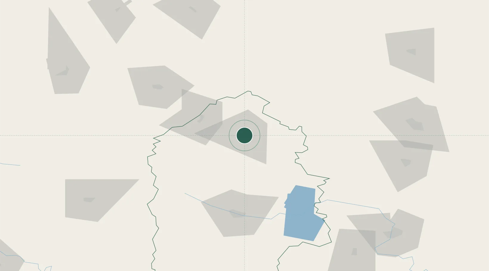
Location
Nearby Logistics Neighbours
Cities
- 1Starokonstantinov48 km
- 2Novohrad-Volyns'kyy61 km
- 3Prut72 km
- 4Orzhiv93 km
- 5Rivne97 km
Ports
- 1Odesa491 km
- 2Yuzhnyy492 km
- 3Illichivsk505 km
- 4Belgorod-Dnestrovsky506 km
- 5Mykolayiv509 km
Airports
- 1Rivne International Airport82 km
- 2Khmelnytskyi Airport90 km
- 3Ozerne Air Base119 km
- 4Vinnytsia/Gavyryshivka International Airport151 km
- 5Bila Tserkva Air Base216 km
DatabookThe Record of Consolidated Knowledge
Ukraine beyond logistics?