Runway & Layout

Airport Specifications
ICAO code
UKKO
Airport class
Medium airport
Scheduled service
No
Served city
Zhytomyr
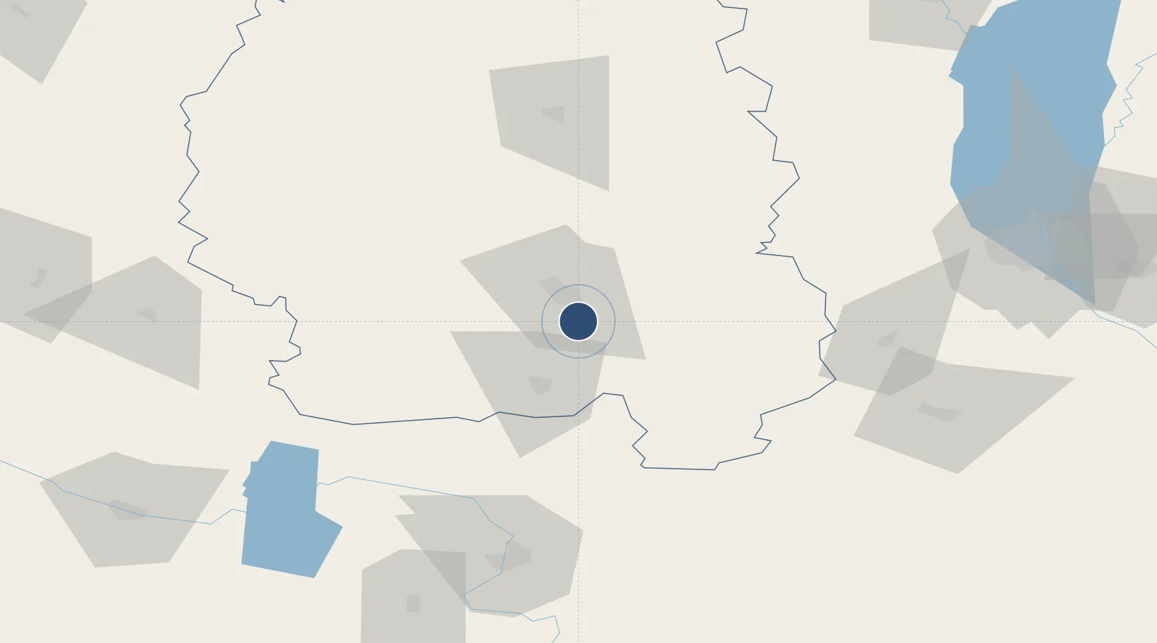
Location
Nearby Logistics Neighbours
Airports
Cities
- 1Zhytomyr11 km
- 2Korostyshiv29 km
- 3Prut52 km
- 4Skvira82 km
- 5Fastov87 km
Ports
- 1Mykolayiv429 km
- 2Yuzhnyy430 km
- 3Odesa434 km
- 4Port Oktyabrsk438 km
- 5Illichivsk452 km
Trade Zones
DatabookThe Record of Consolidated Knowledge
Ukraine beyond logistics?