Transport Functions
Rail
Road
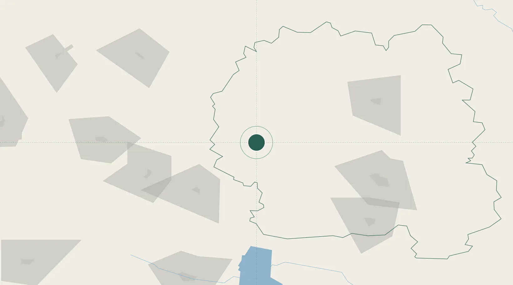
Location
Nearby Logistics Neighbours
Cities
- 1Prut45 km
- 2Shepetovka61 km
- 3Korosten'82 km
- 4Zhytomyr85 km
- 5Starokonstantinov98 km
Ports
- 1Yuzhnyy511 km
- 2Odesa513 km
- 3Mykolayiv517 km
- 4Port Oktyabrsk526 km
- 5Illichivsk528 km
Airports
- 1Ozerne Air Base95 km
- 2Rivne International Airport103 km
- 3Khmelnytskyi Airport146 km
- 4Vinnytsia/Gavyryshivka International Airport168 km
- 5Hostomel Airport183 km
Trade Zones
DatabookThe Record of Consolidated Knowledge
Ukraine beyond logistics?