Seaport · Ukraine
IllichivskUAILK
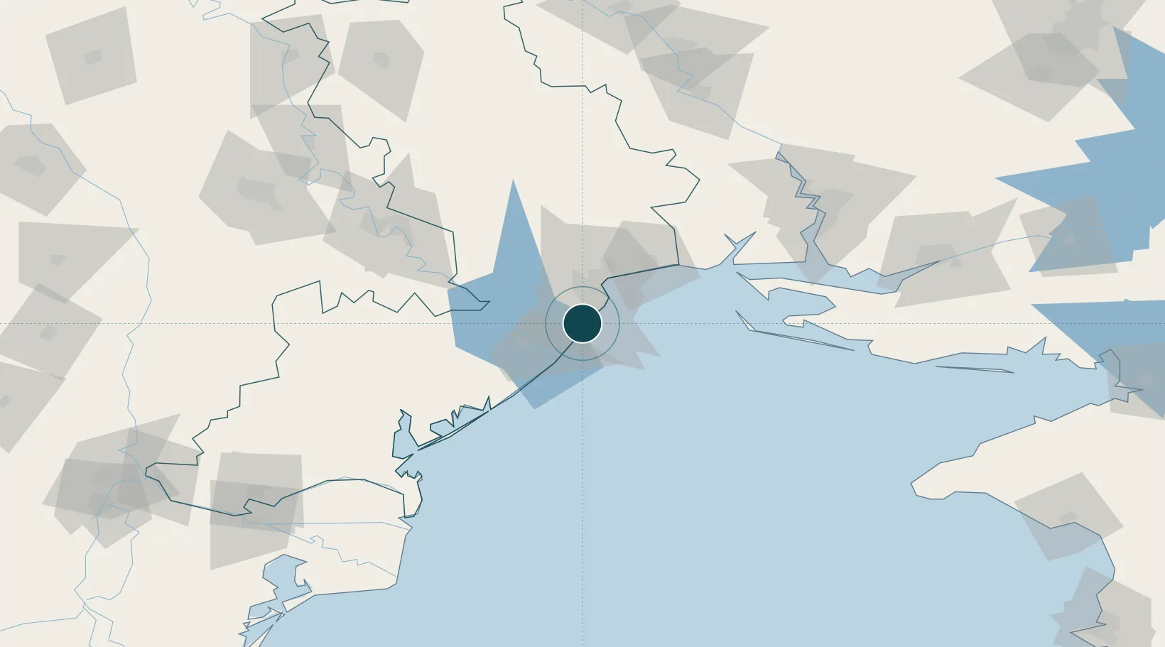
46.3000°, 30.6500°
12.5 m
Channel depth
1
Container terminals
30.0
Port liner connectivity
Channel & Berth Profile
Pilotage, Tugs & Services
Pilotage compulsoryYES
Pilotage availableYES
Pilotage advisableYES
Tug assistanceYES
Potable waterYES
Diesel bunkersYES
MedicalYES
Facilities & Capabilities
Container—
Ro-Ro—
Liquid bulk—
Dry bulk—
Oil terminal—
Break bulk—
Dry dockNO
RepairsNO
BunkeringYES
Rail linkYES
Dangerous cargo—
ISPS security—
Harbour Specifications
Harbour size
Large
Harbour type
Coastal (Breakwater)
Shelter
Good
Water body
Black Sea; North Atlantic Ocean
Tidal range
1 m
Overhead limit
Yes
Pilotage
Yes
Liner Connectivity
30
PLSCI
Port Liner Shipping Connectivity Index for Illichivsk, as published by UNCTAD for the latest available quarter. Higher values indicate stronger scheduled liner-shipping integration.
Shown relative to the highest per-port PLSCI in the dataset (1,657.9).
Location
Container Terminals · 1
CHORNOMORSK FISHING PORT CONTAINER TERMINAL
CFP CHORNOMORSK FISHING PORT, LLC
Nearby Logistics Neighbours
Ports
- 1Odesa21 km
- 2Belgorod-Dnestrovsky25 km
- 3Yuzhnyy44 km
- 4Port Oktyabrsk115 km
- 5Ust-Dunaisk118 km
Cities
- 1Odesa24 km
- 2Bilhorod-Dnistrovskyi25 km
- 3Kamenka48 km
- 4Pivdennyi48 km
- 5Rozdil'na75 km
Airports
- 1Odesa International Airport14 km
- 2Tiraspol Airfield103 km
- 3Mykolaiv International Airport128 km
- 4Kherson International Airport148 km
- 5Chişinău International Airport149 km
Trade Zones
DatabookThe Record of Consolidated Knowledge
Ukraine beyond logistics?